


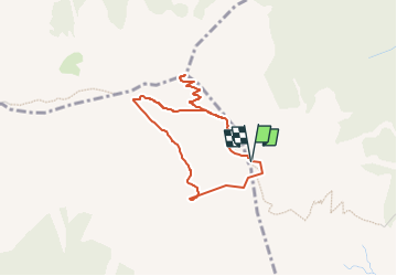

6.5 km | 11 km-effort


User


FREE GPS app for hiking
 SityTrail
IGN / Geographical institutes
SityTrail World
The world is yours!
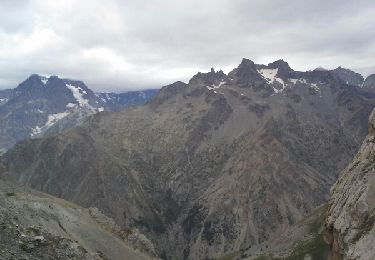
Trail On foot of 3.7 km to be discovered at Provence-Alpes-Côte d'Azur, Hautes-Alpes, Puy-Saint-Pierre. This trail is proposed by MathieuBourgois.
Rando qui démarre du haut de la télécabine du Prorel
Sommet: 1.2km et 183D

Walking
Trail
Running
Walking

Walking
Walking

Walking

Walking

Walking