


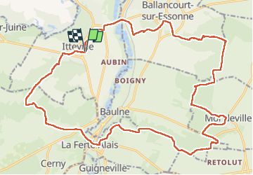

19.3 km | 23 km-effort

User GUIDE


FREE GPS app for hiking
 SityTrail
IGN / Geographical institutes
SityTrail World
The world is yours!
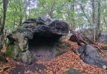
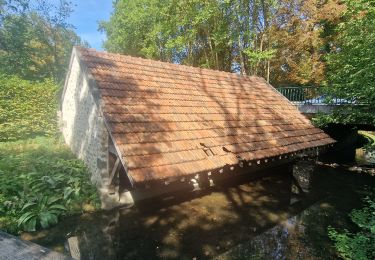
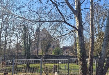
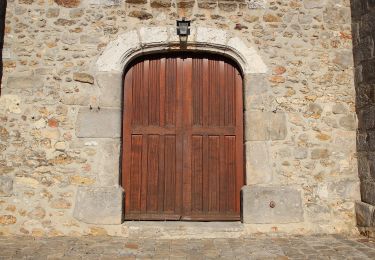
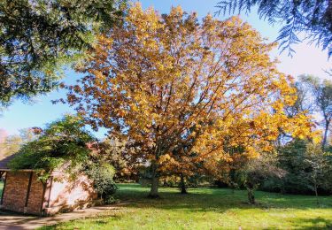
Trail On foot of 28 km to be discovered at Ile-de-France, Essonne, Itteville. This trail is proposed by chessyca.
Rando effectuée avec Pascale pour le Rcy
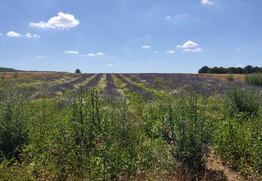
Top en cette saison avec les champs de colza


Walking
Walking

Mountain bike

Walking
Walking
Walking
On foot
On foot
Walking