


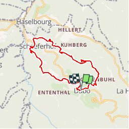


14.5 km | 22 km-effort

User GUIDE


FREE GPS app for hiking
 SityTrail
IGN / Geographical institutes
SityTrail World
The world is yours!
Trail Walking of 12.7 km to be discovered at Grand Est, Moselle, Dabo. This trail is proposed by Desrumaux.
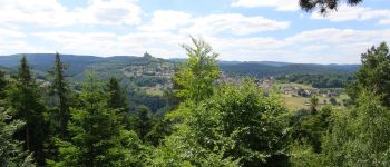
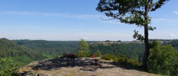
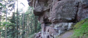
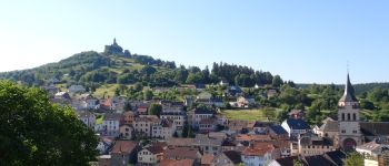
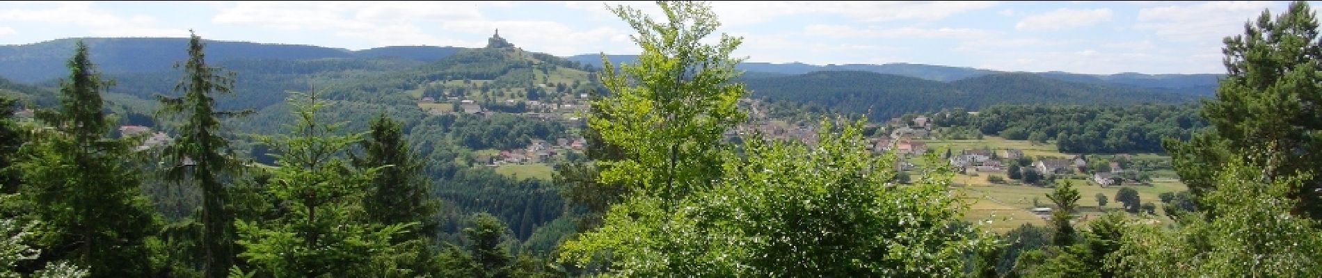
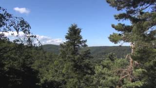
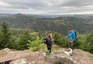
Très jolie randonnée au Pays de Dabo au cœur des Vosges Mosellanes avec de magnifiques points de vue à admirés depuis les belvédères de Heidenschossfels, de Sickertkopf ainsi que le mystérieux Rocher des Corbeaux.Départ : Eglise de Dabo.


Walking

Walking

Walking

Walking

Mountain bike

Walking

Horseback riding
Walking
Walking