


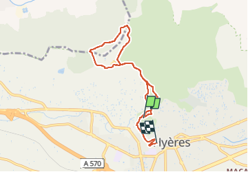

12.5 km | 19.9 km-effort

User


FREE GPS app for hiking
 SityTrail
IGN / Geographical institutes
SityTrail World
The world is yours!
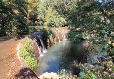
Trail Walking of 7.7 km to be discovered at Provence-Alpes-Côte d'Azur, Var, Hyères. This trail is proposed by marchev.
manque le début de la randonnée Départ Avenues des iles d'or.
Prendre le passage Saint Croix à côté de l'immeuble au20 avenue des ïles d'or.Puis montée st croix. Tourner à gauche pour la rue Victor Bach. Puis montée du chemin de la Porte Saint Jean et début randonnée.


Walking

Walking

Walking

Trail
Road bike

Walking
Walking
Walking

Walking