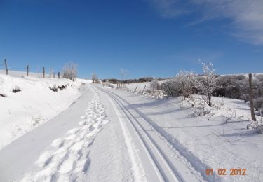
12.6 km | 18.8 km-effort
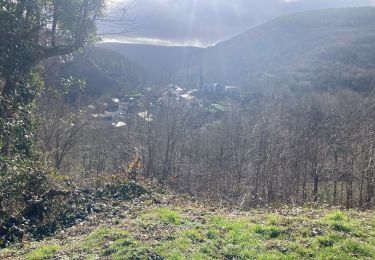
Sous bois de Martinou
cedric.fargues
User
Length
7.3 km
Max alt
1027 m
Uphill gradient
176 m
Km-Effort
9.6 km
Min alt
952 m
Downhill gradient
175 m
Boucle
Yes
Creation date :
2022-04-17 12:44:27.0
Updated on :
2022-04-17 14:57:03.715
2h12
Difficulty : Easy
FREE GPS app for hiking
About
Trail Walking of 7.3 km to be discovered at Occitania, Tarn, Lacaune. This trail is proposed by cedric.fargues.
Positioning
Country:
France
Region :
Occitania
Department/Province :
Tarn
Municipality :
Lacaune
Location:
Unknown
Start:(Dec)
Start:(UTM)
473704 ; 4837685 (31T) N.
Comments
Trails nearby
Voir verte Gijounet
Walking
Easy
Gijounet,
Occitania,
Tarn,
France
11.3 km | 14.6 km-effort
2h 52min
Yes
Boucle du Bel Vespré - Lacaune
Snowshoes
Very difficult
Lacaune,
Occitania,
Tarn,
France
15.7 km | 19.4 km-effort
4h 0min
Yes
Boucle du Bel Vespré - Lacaune
Mountain bike
Medium
Lacaune,
Occitania,
Tarn,
France
15.7 km | 19.4 km-effort
1h 30min
Yes
Boucle du Bel Vespré - Lacaune
Walking
Difficult
Lacaune,
Occitania,
Tarn,
France
15.7 km | 19.4 km-effort
4h 0min
Yes
Gijounet-Fontbonne
Walking
Very easy
Gijounet,
Occitania,
Tarn,
France
12.3 km | 17.4 km-effort
5h 13min
No
81_Gijounet
Walking
Very difficult
Gijounet,
Occitania,
Tarn,
France
18.9 km | 28 km-effort
6h 15min
Yes
On a hésité à se garer sur le grand parking. Des messages nous prévenant qu'il y allait y avoir des recherches à partit de 18h. En fait, ce sont des messages pour les skieurs de fond qui ne sont pas retirés en été. Sinon belle ballade. Un petit kilomètre que l'on partagé avec des voitures ....et la poussière qu'elles transportent : -)