


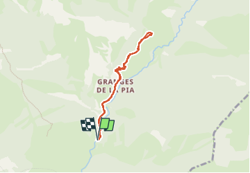

10.7 km | 16.9 km-effort

User


FREE GPS app for hiking
 SityTrail
IGN / Geographical institutes
SityTrail World
The world is yours!
Trail Walking of 7 km to be discovered at Provence-Alpes-Côte d'Azur, Maritime Alps, Tende. This trail is proposed by pln30.
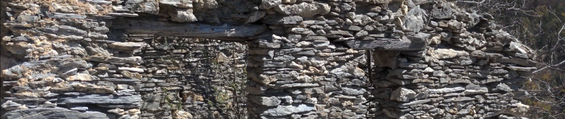
parcours en aller retour jusqu'au castel tournou qui est un fort militaire directement creuser dans le rocher. en temps normal il est possible de faire une boucle mais à ce jour le 17 04 22 le sentier est fermé entre les balises 307 et 308


On foot

Walking

Walking
Snowshoes

Walking
Walking
Mountain bike
Walking
Walking