


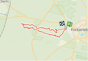


18 km | 22 km-effort

User


FREE GPS app for hiking
 SityTrail
IGN / Geographical institutes
SityTrail World
The world is yours!
Trail Walking of 15 km to be discovered at Ile-de-France, Seine-et-Marne, Fontainebleau. This trail is proposed by astro45.
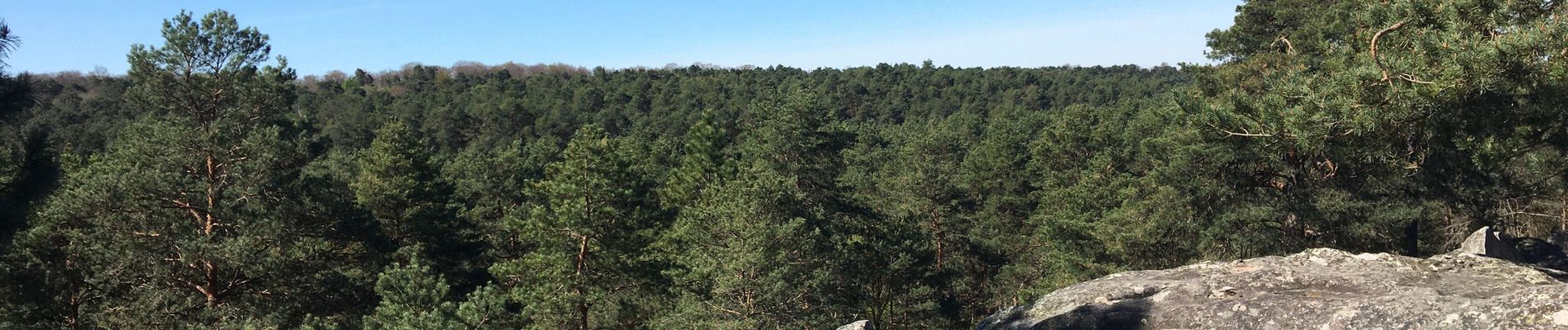
Randonnée agréable à l'ombre des pins et au milieu des blocs rocheux de grès.


27 photos in total. Please click on a photo to see them all in the gallery.

Walking

On foot

Walking

Walking

Walking

Walking

Walking

Walking
Walking