


 - Photo 21")

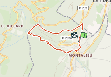
8.6 km | 16.2 km-effort

User


FREE GPS app for hiking
 SityTrail
IGN / Geographical institutes
SityTrail World
The world is yours!
Trail Walking of 4 km to be discovered at Auvergne-Rhône-Alpes, Isère, Saint-Vincent-de-Mercuze. This trail is proposed by cousam.
Jolie boucle
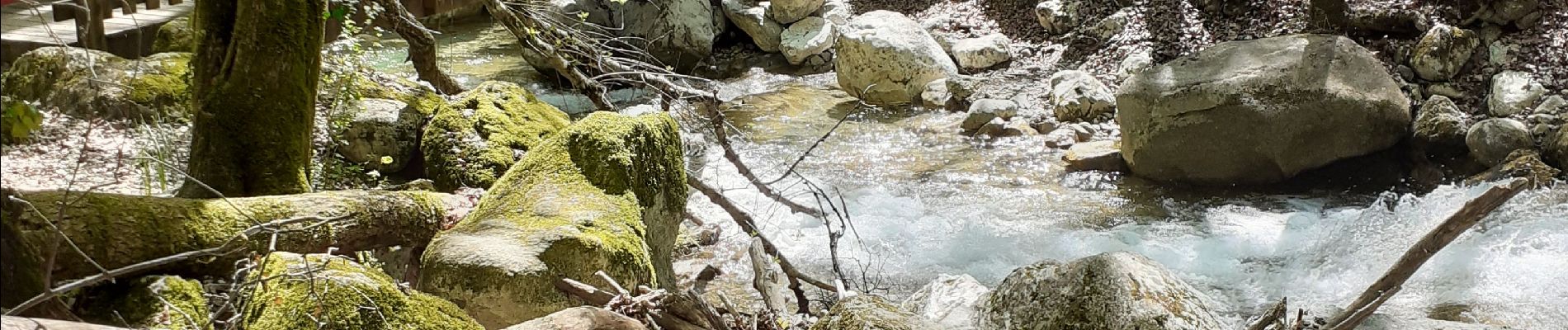
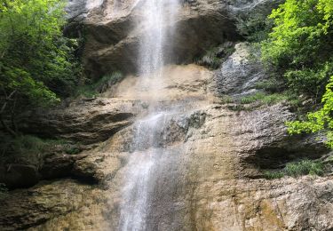
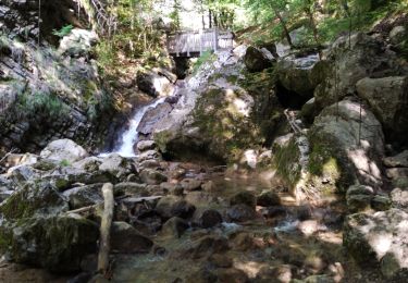
passage sympa derrière la grande cascade ,sécurisé.
 - Photo 1")
 - Photo 2")
 - Photo 3")
 - Photo 4")
 - Photo 5")
 - Photo 6")
 - Photo 7")
 - Photo 8")
 - Photo 9")
 - Photo 10")
 - Photo 11")
 - Photo 12")
 - Photo 13")
 - Photo 14")
 - Photo 15")
 - Photo 16")
 - Photo 17")
 - Photo 18")
 - Photo 19")
 - Photo 20")
21 photos in total. Please click on a photo to see them all in the gallery.

Walking

Walking

Walking

Walking

Walking
Walking
Walking
Walking
Walking