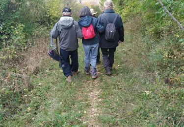
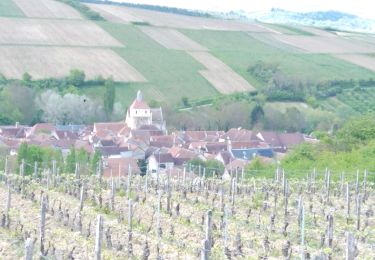
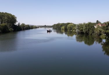
Trail  Auxerre - 2022-04-16_12h01m06_SityTrail - 3183786 - 2022x03x28_13h59m31_randonneexauxerrexvezelay - Photo

2022-04-16_12h01m06_SityTrail - 3183786 - 2022x03x28_13h59m31_randonneexauxerrexvezelay

 aucamus
aucamus

User

© OpenStreetMap contributors
Length
Length
56 km
Max alt
Max alt
297 m
Uphill gradient
Uphill gradient
1346 m
Km-Effort
Km-Effort  
73 km
Min alt
Min alt
99 m
Downhill gradient
Downhill gradient
1203 m
Boucle
Boucle
No
Creation date :
2022-04-16 10:01:06.613
Updated on :
2022-04-16 10:01:06.603

(0 Reviews)


Scan this QR Code to open this trail in the SityTrail application

FREE GPS app for hiking

Logo SityTrail SityTrail

IGN / Geographical institutes

Download SityTrail from the App Store Download SityTrail from Google Play

Logo SityTrail SityTrail World

The world is yours!

Download SityTrail from the App Store Download SityTrail from Google Play Download SityTrail on Huawei AppGallery

About

Trail of 56 km to be discovered at Bourgogne-Franche-Comté, Yonne, Auxerre. This trail is proposed by aucamus.

Description

Bonjour,

Cette année le club alpin Auxerre organise sa 51ème randonnée entre Auxerre et Vézelay, portion du chemin de Saint Jacques de Compostelle.

Un rendez-vous incontournable pour les marcheurs qui aura lieu le dimanche 17 avril 2022.

57 km pour les plus courageux, avec un départ à 5h 45 de la maison de quartier des Piedalloues, boulevard des Pyrénées, à Auxerre.
35 km : rdv à 8h15 salle du gué d'Arbaut à Cravant.
26 km : rdv à 9h45 place de la mairie à Bessy sur Cure.
21 km : rdv à 10h15 gare SNCF à Arcy sur Cure.
17 km : rdv à 10h45 à l'entrée du camping à Saint Moré.
8 ou 11 km : rdv à 13h30 au parking du gymnase à Montillot.

Nombreux ravitaillements sur le parcours.
Retour possible à votre point de départ en bus.

Informations, inscriptions et paiement sécurisé en ligne sur http://cafauxerre.ffcam.fr/


Club Alpin Français Auxerre.

Elevation profile

Positioning

Country:
France
Region :
Bourgogne-Franche-Comté
Department/Province :
Yonne
Municipality :
Auxerre
Location:
Unknown
Start:(UTM)
543293 ; 5292029 (31T) N.

Trails nearby

Trail Walking Auxerre - auxerre vezelay - Photo
Walking
GUIDE
chessyca

Walking

Very difficult
Auxerre, Bourgogne-Franche-Comté, Yonne, France
57 km | 74 km-effort
9h 39min
No
Trail Walking Auxerre - Auxerre - Photo
Walking
janussity

Walking

Medium
Auxerre, Bourgogne-Franche-Comté, Yonne, France
8.9 km | 10.3 km-effort
2h 37min
Yes
Trail Mountain bike Auxerre - auxerre chablis tonnerre gr 654 - Photo
Mountain bike
rtypoi

Mountain bike

Easy
(2)
Auxerre, Bourgogne-Franche-Comté, Yonne, France
42 km | 52 km-effort
4h 17min
No
Trail Walking Vallan - AVF Vallan  - Photo
Walking
gpcadu

Walking

Medium
Vallan, Bourgogne-Franche-Comté, Yonne, France
7.9 km | 9.5 km-effort
2h 3min
Yes
Trail Electric bike Auxerre - Jussy 01052023 - Photo
Electric bike
gpcadu

Electric bike

Very easy
Auxerre, Bourgogne-Franche-Comté, Yonne, France
19.5 km | 24 km-effort
39min
No
Trail Electric bike Auxerre - Auxerre - Jussy 16-07-2022 - Photo
Electric bike
gpcadu

Electric bike

Very easy
Auxerre, Bourgogne-Franche-Comté, Yonne, France
15.9 km | 18.3 km-effort
55min
No
Trail Electric bike Auxerre - Auxerre - Vigne canal - Jussy - Photo
Electric bike
gpcadu

Electric bike

Very easy
Auxerre, Bourgogne-Franche-Comté, Yonne, France
38 km | 42 km-effort
2h 4min
No
Trail Bicycle tourism Auxerre - 71 Bourgogne J5/8 - Photo
Bicycle tourism
ericf64

Bicycle tourism

Medium
Auxerre, Bourgogne-Franche-Comté, Yonne, France
81 km | 89 km-effort
10h 0min
No
Trail Walking Auxerre - venoymim - Photo
Walking
elilil

Walking

Difficult
Auxerre, Bourgogne-Franche-Comté, Yonne, France
13.2 km | 15.9 km-effort
2h 54min
No


Close
My subscriptions