


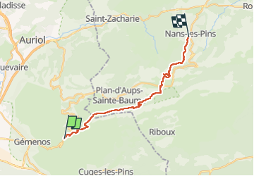


11.7 km | 18.6 km-effort

User


FREE GPS app for hiking
 SityTrail
IGN / Geographical institutes
SityTrail World
The world is yours!
Trail Walking of 19.2 km to be discovered at Provence-Alpes-Côte d'Azur, Bouches-du-Rhône, Gémenos. This trail is proposed by caroline83150.
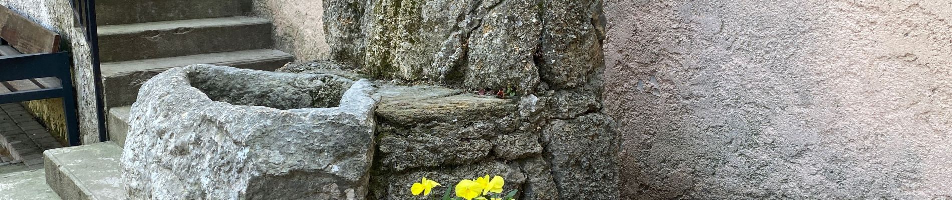
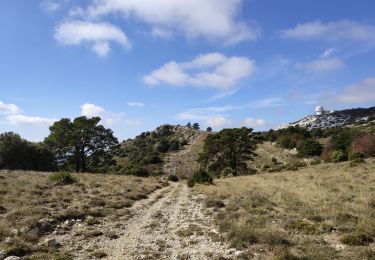
Très beau passage par les sources de huveaune


34 photos in total. Please click on a photo to see them all in the gallery.

Walking

Walking

Walking

Walking

Mountain bike

Walking

Walking
Walking

Walking