9.4 km | 12 km-effort
rando 14 avril
evelyne10
User
Length
7.3 km
Max alt
257 m
Uphill gradient
134 m
Km-Effort
9.1 km
Min alt
178 m
Downhill gradient
128 m
Boucle
No
Creation date :
2022-04-14 12:01:05.751
Updated on :
2022-04-14 14:55:10.416
2h53
Difficulty : Medium
FREE GPS app for hiking
About
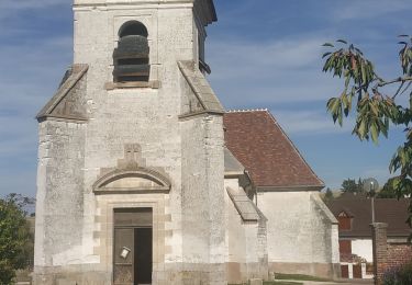
Trail Walking of 7.3 km to be discovered at Grand Est, Aube, Vauchassis. This trail is proposed by evelyne10.
Description
Très belle
Positioning
Country:
France
Region :
Grand Est
Department/Province :
Aube
Municipality :
Vauchassis
Location:
Unknown
Start:(Dec)
Start:(UTM)
568482 ; 5341424 (31U) N.
Comments
Trails nearby
Bouilly le 30.07.22 (9.6kms) N° 2
Walking
Medium
(1)
Bouilly,
Grand Est,
Aube,
France
8.1 km | 10.5 km-effort
2h 23min
Yes
Souligny 16km le 11/06/2019
Walking
Difficult
(1)
Souligny,
Grand Est,
Aube,
France
16 km | 0 m-effort
3h 9min
Yes
montaigutour toto aout217
Mountain bike
Difficult
(1)
Laines-aux-Bois,
Grand Est,
Aube,
France
31 km | 42 km-effort
3h 6min
Yes
cource xc cwb Laines Aux Bois 2017
Mountain bike
Difficult
(3)
Laines-aux-Bois,
Grand Est,
Aube,
France
6.6 km | 9.9 km-effort
38min
Yes
hors piste phiphi
Mountain bike
Difficult
(1)
Laines-aux-Bois,
Grand Est,
Aube,
France
26 km | 35 km-effort
3h 11min
No
Vauchassis Bercenay
Walking
Difficult
Vauchassis,
Grand Est,
Aube,
France
9.6 km | 12.3 km-effort
2h 44min
Yes
Laines Aux Bois
Walking
Medium
Laines-aux-Bois,
Grand Est,
Aube,
France
8 km | 10.2 km-effort
2h 11min
Yes
Lainesauxbois7kmPR
Walking
Medium
(1)
Laines-aux-Bois,
Grand Est,
Aube,
France
7 km | 9 km-effort
2h 3min
Yes