


7 km | 9.7 km-effort


User


FREE GPS app for hiking
 SityTrail
IGN / Geographical institutes
SityTrail World
The world is yours!
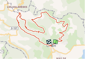
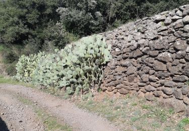
Trail Walking of 14.7 km to be discovered at Occitania, Hérault, Octon. This trail is proposed by coulombf.
14/04/2022 groupe marche FC
Mégalithes de Toucou, château de Lauzières, chapelle Notre Dame de Roubignac.
Version longue
D'après Rando-Lolo

Nordic walking

Nordic walking

Walking
Walking
Walking
Walking

Walking
Walking

Mountain bike
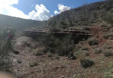
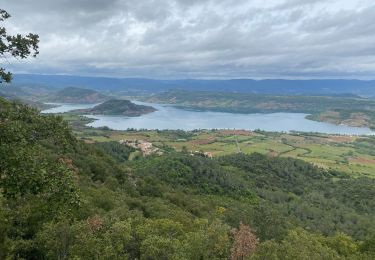
Superbe