


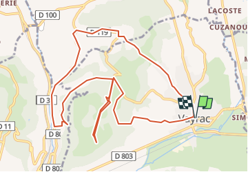

10.4 km | 13.8 km-effort


User


FREE GPS app for hiking
 SityTrail
IGN / Geographical institutes
SityTrail World
The world is yours!
Trail Walking of 12.9 km to be discovered at Occitania, Lot, Vayrac. This trail is proposed by houbart.
Au puy d'Issolud, squelettes de l'époque mérovingienne.
Attention, au bout d'1,5 km environ, le chemin n'est plus visible et on descend grâce à la trace gpx...


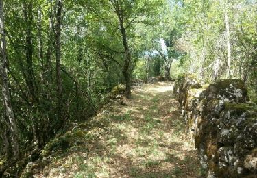
Walking
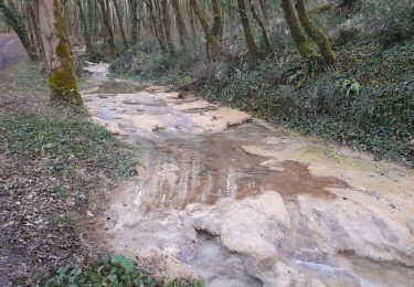
Walking

Walking


Walking

Walking

Mountain bike


Walking