


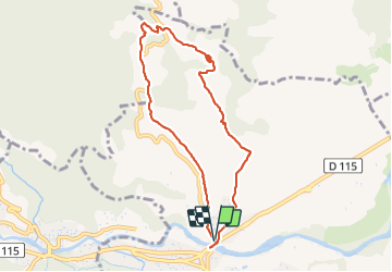

9.9 km | 13 km-effort


User GUIDE


FREE GPS app for hiking
 SityTrail
IGN / Geographical institutes
SityTrail World
The world is yours!
Trail Walking of 8.5 km to be discovered at Occitania, Pyrénées-Orientales, Céret. This trail is proposed by stef789.
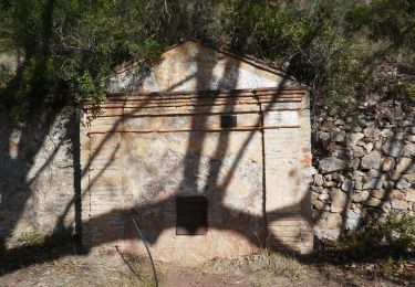
 - Photo 1")
 - Photo 2")
 - Photo 3")
 - Photo 4")
 - Photo 5")
 - Photo 6")
 - Photo 7")
 - Photo 8")
 - Photo 9")
 - Photo 10")
 - Photo 11")
 - Photo 12")
 - Photo 13")
 - Photo 14")

Walking

Walking

Walking

Walking

Walking
Walking
Walking

Walking

Walking
circuit effectué en sens inverse comme le préconise le guide Chamina. De beaux paysages et un aspect historique intéressant.