


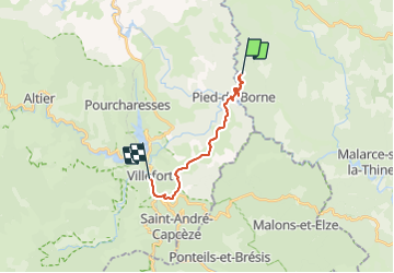

11.4 km | 14.4 km-effort


User


FREE GPS app for hiking
 SityTrail
IGN / Geographical institutes
SityTrail World
The world is yours!
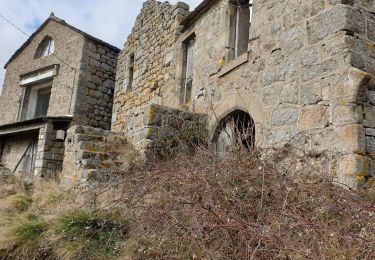
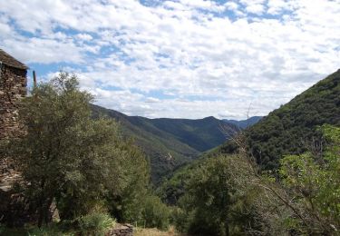
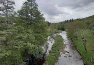
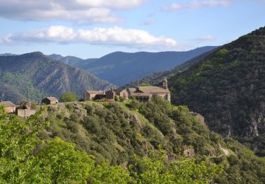
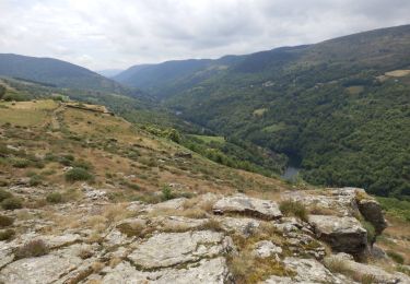
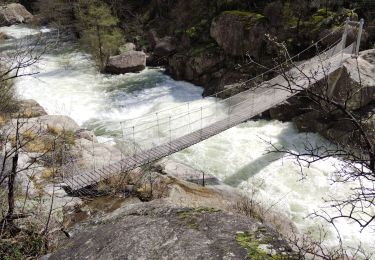
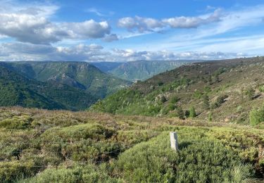
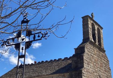
Trail Walking of 13.4 km to be discovered at Auvergne-Rhône-Alpes, Ardèche, Sainte-Marguerite-Lafigère. This trail is proposed by loicthev.
itinérance Cévennes J2
Cabane de Triadou > Villefort
03/04/2022
Alexandre
Walking
Walking
Walking
Walking
Walking
Walking

Walking
Walking
Walking