


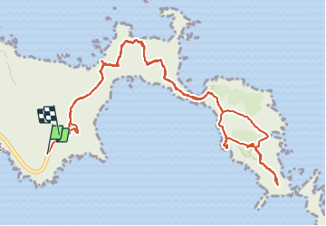


6.5 km | 12 km-effort

User


FREE GPS app for hiking
 SityTrail
IGN / Geographical institutes
SityTrail World
The world is yours!
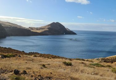
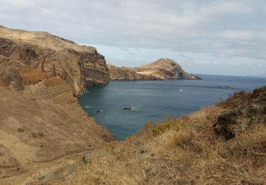
Trail Walking of 8.4 km to be discovered at Madeira, Unknown, Caniçal. This trail is proposed by Bart2015.
Randonnée très bien décrite dans le Rother Madère - n°12.
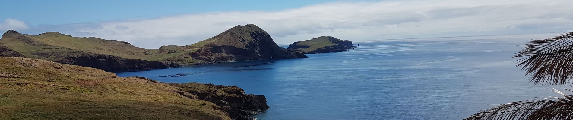
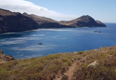
Très belle randonnée, magique car elle permet de découvrir l'extrémité Est de l'île et ses mille contrastes terre/océan.
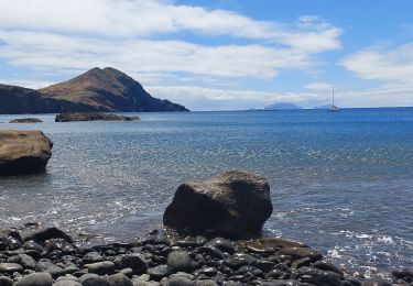
Au retour en revenant sur Caniçal, une halte pourra être programmée pour se baigner à la plage de sable fin de Prainha ...
Bonne rando ...


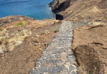
37 photos in total. Please click on a photo to see them all in the gallery.
Walking
Walking
Walking
Walking
Walking
Walking


Walking
Walking