


8.5 km | 15.9 km-effort

User GUIDE


FREE GPS app for hiking
 SityTrail
IGN / Geographical institutes
SityTrail World
The world is yours!
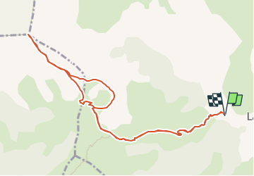
Trail Walking of 11.5 km to be discovered at Provence-Alpes-Côte d'Azur, Hautes-Alpes, Le Dévoluy. This trail is proposed by Marco05.
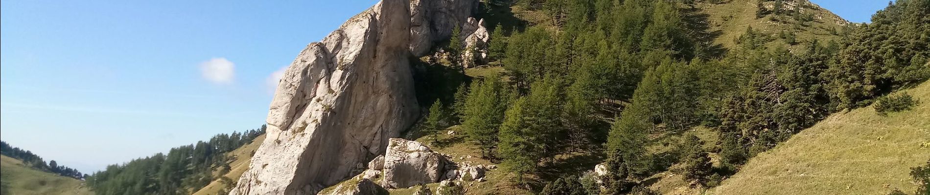
Sommet du Dévoluy assez difficile vu sa pente finale.
Le départ se situe au dessous de La Cluse.
Passage au col de Plate Contier et au Pas de l'agneau.
Attention à cet endroit c'est très aérien. Ne pas s'approcher du bord.
Au retour, on peut passer par la tête des Ormants, mais ce n'est pas obligatoire, car ça rajoute de la difficulté physique.


Walking

Walking

Walking

Walking

Walking

Walking

Walking

Walking
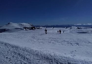
Touring skiing