22 km | 28 km-effort
tohogne verlaine
© OpenStreetMap contributors
Walking
2h05
Difficulty : Medium
Length
8.2 km
Max alt
278 m
Uphill gradient
170 m
Km-Effort
10.4 km
Min alt
154 m
Downhill gradient
170 m
Boucle
Yes
Creation date :
2022-03-28 11:46:08.534
Updated on :
2022-03-28 13:52:02.396
2h05
Difficulty : Medium
FREE GPS app for hiking
About
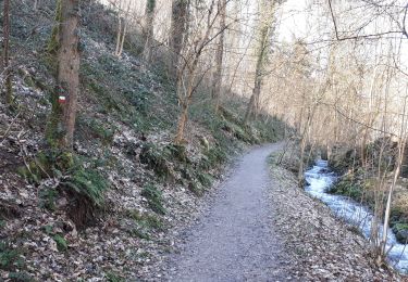
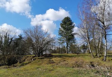
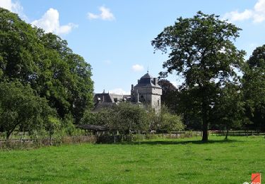
Trail Walking of 8.2 km to be discovered at Wallonia, Luxembourg, Durbuy. This trail is proposed by jeanpierre.debattice@hotmail.com .
Positioning
Country:
Belgium
Region :
Wallonia
Department/Province :
Luxembourg
Municipality :
Durbuy
Location:
Unknown
Start:(Dec)
Start:(UTM)
676541 ; 5584229 (31U) N.
Comments
Trails nearby
RB-Lu-01 - Un petit bout de Condroz
Walking
Difficult
(5)
Durbuy,
Wallonia,
Luxembourg,
Belgium
24 km | 30 km-effort
6h 27min
Yes
Durbuy belle boucle depuis le centre
Walking
Medium
(11)
Durbuy,
Wallonia,
Luxembourg,
Belgium
5.9 km | 7.6 km-effort
1h 27min
Yes
RF-Lu-02 - Variante Ravel - Au fils de l'Ourthe : Barvaux
Walking
Very easy
(6)
Durbuy,
Wallonia,
Luxembourg,
Belgium
10.5 km | 13.1 km-effort
2h 45min
Yes
Balade à Bomal sur Ourthe
Walking
Easy
(4)
Durbuy,
Wallonia,
Luxembourg,
Belgium
4.4 km | 5.9 km-effort
1h 20min
Yes
À vélo, autour de Durbuy
Cycle
Very easy
(2)
Durbuy,
Wallonia,
Luxembourg,
Belgium
39 km | 45 km-effort
Unknown
Yes
HAMOIR (Vallée du Neblon)
Walking
Medium
(1)
Hamoir,
Wallonia,
Liège,
Belgium
8.6 km | 11.4 km-effort
2h 28min
Yes
GG-Lu-15_Sy - Barvaux
Walking
Very difficult
(1)
Ferrières,
Wallonia,
Liège,
Belgium
18.9 km | 26 km-effort
5h 58min
No
Good walk, but mostly on road (instead of nature trails). A lot of the trail is asphalt (be mindful of cars, even though the road isn't very busy), some is rocky/country trail. After the first start there is quite a long bit continuesly downhill. The uphill part after is a steep climb (part asphalt, part rocky country trail).