18.2 km | 24 km-effort
le truel
Patriste
User
Length
23 km
Max alt
757 m
Uphill gradient
1029 m
Km-Effort
36 km
Min alt
261 m
Downhill gradient
903 m
Boucle
No
Creation date :
2022-03-27 07:46:11.822
Updated on :
2022-03-27 15:41:22.919
5h39
Difficulty : Medium
FREE GPS app for hiking
About
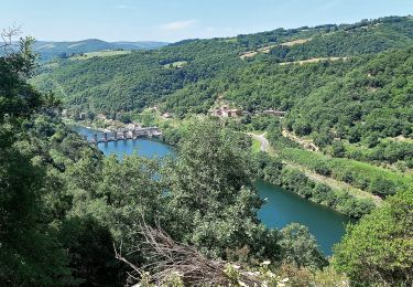
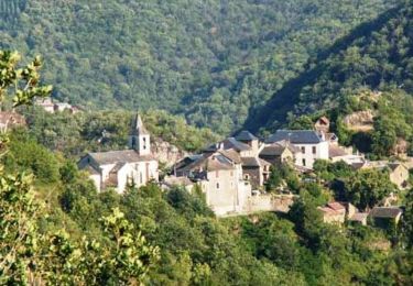
Trail Walking of 23 km to be discovered at Occitania, Aveyron, Le Truel. This trail is proposed by Patriste.
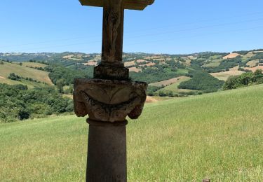
Positioning
Country:
France
Region :
Occitania
Department/Province :
Aveyron
Municipality :
Le Truel
Location:
Unknown
Start:(Dec)
Start:(UTM)
480192 ; 4877503 (31T) N.
Comments
Trails nearby
Villefranche de Panat
Walking
Easy
(2)
Villefranche-de-Panat,
Occitania,
Aveyron,
France
10.4 km | 11.9 km-effort
2h 42min
Yes
J11: Ayssènes-Brousse le Château-190522
Walking
Medium
,
Occitania,
Aveyron,
France
23 km | 33 km-effort
7h 29min
No
Villefranche de Panat à Salles Curan
Walking
Very difficult
Villefranche-de-Panat,
Occitania,
Aveyron,
France
24 km | 31 km-effort
4h 53min
No
Le chemin des Raspes - Ayssènes
Walking
Difficult
,
Occitania,
Aveyron,
France
14.1 km | 23 km-effort
4h 30min
Yes
la Sabaterie reco
Walking
Difficult
Le Truel,
Occitania,
Aveyron,
France
11.5 km | 15.7 km-effort
4h 51min
Yes
brousse le château
Walking
Very difficult
Le Truel,
Occitania,
Aveyron,
France
19.8 km | 28 km-effort
9h 4min
No
randonnée Villefranche de panat
Walking
Difficult
Villefranche-de-Panat,
Occitania,
Aveyron,
France
10.2 km | 12.7 km-effort
3h 10min
Yes
de truel au viala du tarn in live
Walking
Difficult
Le Truel,
Occitania,
Aveyron,
France
21 km | 32 km-effort
5h 7min
No