62 km | 73 km-effort
Circuit de cambernon
enoitna
User
Length
48 km
Max alt
147 m
Uphill gradient
431 m
Km-Effort
53 km
Min alt
6 m
Downhill gradient
428 m
Boucle
Yes
Creation date :
2022-03-27 11:09:59.0
Updated on :
2022-03-27 11:10:01.52
52m
Difficulty : Very easy
FREE GPS app for hiking
About
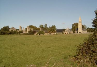
Trail Bicycle tourism of 48 km to be discovered at Normandy, Manche, Cambernon. This trail is proposed by enoitna.
Positioning
Country:
France
Region :
Normandy
Department/Province :
Manche
Municipality :
Cambernon
Location:
Unknown
Start:(Dec)
Start:(UTM)
617535 ; 5436160 (30U) N.
Comments
Trails nearby
Autour de Feugères en VTT
Mountain bike
Difficult
(1)
Monthuchon,
Normandy,
Manche,
France
4h 30min
Yes
1 pas, 2 pas pour Anaïs - Coutances
Mountain bike
Difficult
Coutances,
Normandy,
Manche,
France
39 km | 47 km-effort
2h 45min
Yes
Pédestre - Les trois vallées
Walking
Medium
Nicorps,
Normandy,
Manche,
France
12.4 km | 15.3 km-effort
3h 30min
Yes
Rando des Petits Princes de Margot 2013 - Coutances
Mountain bike
Difficult
Coutances,
Normandy,
Manche,
France
42 km | 50 km-effort
2h 45min
Yes
Rando VTT à Coutance 2012
Mountain bike
Difficult
Coutances,
Normandy,
Manche,
France
68 km | 80 km-effort
5h 0min
Yes
boucle Nicorps - Le Pont de la Roque
Electric bike
Medium
Nicorps,
Normandy,
Manche,
France
15.9 km | 18.2 km-effort
1h 32min
Yes
Basse Normandie - Ligne 417 - Coutances - Sottevast
Other activity
Very easy
Courcy,
Normandy,
Manche,
France
69 km | 75 km-effort
5min
No
VTT entre Soulles et Sauvagère II
Mountain bike
Difficult
Savigny,
Normandy,
Manche,
France
43 km | 53 km-effort
3h 0min
Yes