


11.4 km | 12.9 km-effort

Recherche Utilitaire


FREE GPS app for hiking
 SityTrail
IGN / Geographical institutes
SityTrail World
The world is yours!
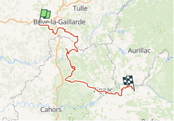
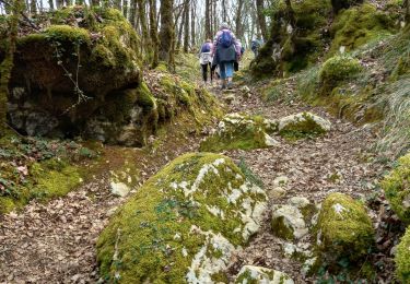
Trail Car of 225 km to be discovered at New Aquitaine, Dordogne, Terrasson-Lavilledieu. This trail is proposed by Amicale Canine du Boulou.
Walking
Walking
Walking

Walking

Walking
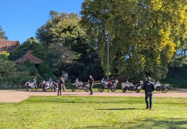
Motorbike

Walking
Walking
Walking