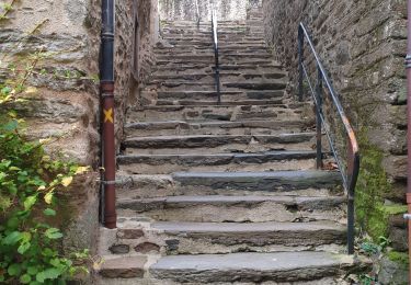
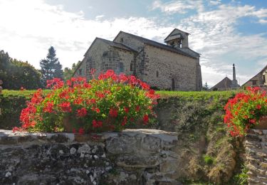
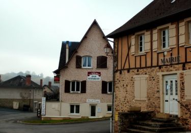
Trail Walking Saint-Ybard - De Bialet aux deux viaducs - Saint Ybard - Photo

De Bialet aux deux viaducs - Saint Ybard

 tracegps
tracegps

User

© OpenStreetMap contributors
Length
Length
5.5 km
Max alt
Max alt
377 m
Uphill gradient
Uphill gradient
139 m
Km-Effort
Km-Effort  
7.4 km
Min alt
Min alt
274 m
Downhill gradient
Downhill gradient
139 m
Boucle
Boucle
Yes
Creation date :
2014-12-10 00:00:00.0
Updated on :
2014-12-10 00:00:00.0

(0 Reviews)

Walking
Walking
2h00
Difficulty : Medium

Scan this QR Code to open this trail in the SityTrail application

FREE GPS app for hiking

Logo SityTrail SityTrail

IGN / Geographical institutes

Download SityTrail from the App Store Download SityTrail from Google Play

Logo SityTrail SityTrail World

The world is yours!

Download SityTrail from the App Store Download SityTrail from Google Play Download SityTrail on Huawei AppGallery

About

Trail Walking of 5.5 km to be discovered at New Aquitaine, Corrèze, Saint-Ybard. This trail is proposed by tracegps.

Description

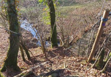
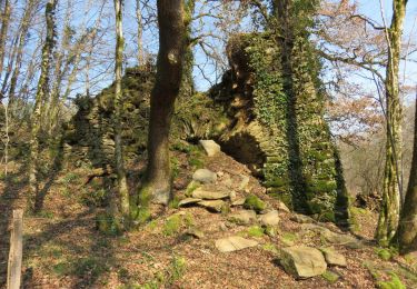
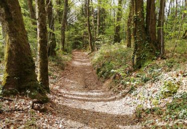
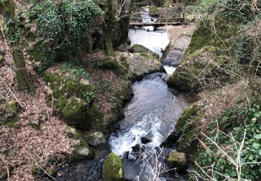
En aval des cascades de Bialet, près de la confluence du ruisseau de Saint Ybard et de la Vézère, sur les berges, se dressent les vestiges d'une ancienne forge. A quelques centaines de mètres en longeant la rivière vous découvrez le viaduc ferroviaire du Gour-Noir. Cette promenade vous mène ensuite au viaduc de l'autoroute A20. Vous rejoignez les cascades par le village de Bouchiat. Téléchargez la fiche du circuit sur le site du Tourisme en Limousin.

Elevation profile

Photos

Positioning

Country:
France
Region :
New Aquitaine
Department/Province :
Corrèze
Municipality :
Saint-Ybard
Location:
Unknown
Start:(Dec)
Start:(UTM)
385289 ; 5030620 (31T) N.

Trails nearby

Trail Walking Vigeois - Vigeois - La Roche - Photo
Walking
houbart

Walking

Easy
(1)
Vigeois, New Aquitaine, Corrèze, France
7.7 km | 10 km-effort
2h 30min
Yes
Trail Walking Saint-Ybard - Saint-Ybard- Les cascades de Bialet - Photo
Walking
houbart

Walking

Easy
(2)
Saint-Ybard, New Aquitaine, Corrèze, France
5.2 km | 7 km-effort
1h 27min
Yes
Trail Walking Uzerche - Sur les pas de Simone de Beauvoir - Uzerche - Photo
Walking
tracegps

Walking

Medium
(2)
Uzerche, New Aquitaine, Corrèze, France
5.6 km | 7 km-effort
1h 15min
Yes
Trail Walking Espartignac - Fred B C Espartignac  - Photo
Walking
arnoultjf

Walking

Medium
Espartignac, New Aquitaine, Corrèze, France
8 km | 10.8 km-effort
2h 26min
Yes
Trail Walking Saint-Ybard - Cascades de Niamey ST YBARD - Photo
Walking
Robert escot

Walking

Saint-Ybard, New Aquitaine, Corrèze, France
6.2 km | 8.1 km-effort
1h 30min
Yes
Trail Walking Uzerche - uzerche - Photo
Walking
sy!

Walking

Very easy
Uzerche, New Aquitaine, Corrèze, France
22 km | 28 km-effort
3h 27min
No
Trail Walking Saint-Martin-Sepert - Saint Martin Sepert- Le ruisseau d'Habriat - Photo
Walking
houbart

Walking

Easy
Saint-Martin-Sepert, New Aquitaine, Corrèze, France
5.1 km | 6.6 km-effort
1h 23min
Yes
Trail Walking Espartignac - Circuit du POC au dolmen - Espartignac - Pays Vézère Auvézère - Photo
Walking
tracegps

Walking

Medium
Espartignac, New Aquitaine, Corrèze, France
4.9 km | 6.3 km-effort
1h 30min
Yes
Trail Mountain bike Uzerche - rando quad uzerche  - Photo
Mountain bike
Joël Chalaud

Mountain bike

Medium
Uzerche, New Aquitaine, Corrèze, France
82 km | 104 km-effort
4h 54min
Yes


Close
My subscriptions