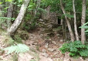
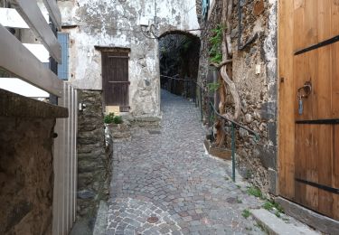
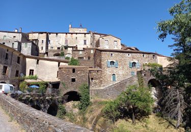
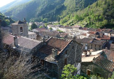
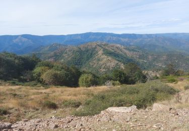
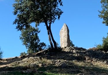
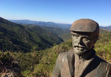
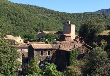
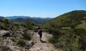
Trail Walking Val-d'Aigoual - Les 4 cols - Notre Dame de la Rouvière    - Photo

Les 4 cols - Notre Dame de la Rouvière

 tracegps
tracegps

User

© OpenStreetMap contributors
Length
Length
18 km
Max alt
Max alt
1008 m
Uphill gradient
Uphill gradient
923 m
Km-Effort
Km-Effort  
30 km
Min alt
Min alt
356 m
Downhill gradient
Downhill gradient
923 m
Boucle
Boucle
Yes
Creation date :
2014-12-10 00:00:00.0
Updated on :
2014-12-10 00:00:00.0

(1 Reviews)

Walking
Walking
6h30
Difficulty : Difficult

Scan this QR Code to open this trail in the SityTrail application

FREE GPS app for hiking

Logo SityTrail SityTrail
IGN / Geographical institutes

Download SityTrail from the App Store Download SityTrail from Google Play

Logo SityTrail SityTrail World

The world is yours!

Download SityTrail from the App Store Download SityTrail from Google Play Download SityTrail on Huawei AppGallery

About

Trail Walking of 18 km to be discovered at Occitania, Gard, Val-d'Aigoual. This trail is proposed by tracegps.

Description

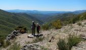
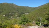
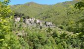
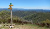
Départ du parking au village. De la place monter à Puech Sigal et tourner à gauche avant la 1ére maison pour gagner le Col de l'Homme Mort. Déboucher sur la crête et la suivre à droite vers le col de l'Asclier. Descendre vers Corbières puis Mourgues pour remonter au col de Bès. Prendre la route à droite vers le col de la Tribale. A droite, regagner ND de la Rouvière. Rando difficile (cumul des montées supérieures à 1000m !!) mais tellement belle !!! Bonne rando.

Elevation profile

Photos

Positioning

Country:
France
Region :
Occitania
Department/Province :
Gard
Municipality :
Val-d'Aigoual
Location:
Notre-Dame-de-la-Rouvière
Start:(UTM)
556028 ; 4877540 (31T) N.

Comments

Please log in to post a review or rate the element


Une variante possible du col de l'asclier on peux rejoindre le col du Bes en restant sur le haut par le chemin vieux ( balisé) sans descendre et remonter s'élance est plus simple et évite un grand denivellé


Trails nearby

Trail Walking Val-d'Aigoual - Cascade d'Orgon-15-06-22 - Photo
Walking
Christiancordin

Walking

Difficult
Val-d'Aigoual, Occitania, Gard, France
22 km | 40 km-effort
6h 17min
Yes
Trail Walking Val-d'Aigoual - 4000 marches-14-06-22 - Photo
Walking
Christiancordin

Walking

Very difficult
Val-d'Aigoual, Occitania, Gard, France
30 km | 50 km-effort
7h 47min
Yes
Trail Walking Saint-Martial - Montagne du Liron au départ de St Martial - Photo
Walking
GUIDE
nadinebondoux

Walking

Difficult
Saint-Martial, Occitania, Gard, France
19.4 km | 32 km-effort
7h 4min
Yes
Trail On foot Val-d'Aigoual - Les 4000 marches - Photo
On foot
GUIDE+

On foot

Easy
Val-d'Aigoual, Occitania, Gard, France
8 km | 19.7 km-effort
4h 28min
No
Trail Walking Saint-Martial - arsel saint martial  - Photo
Walking
labarone

Walking

Medium
Saint-Martial, Occitania, Gard, France
22 km | 34 km-effort
7h 32min
Yes
Trail Walking Val-d'Aigoual - Montée Aigoual et descente par Aire de Côte  - Photo
Walking
Bart2015

Walking

Very difficult
Val-d'Aigoual, Occitania, Gard, France
26 km | 43 km-effort
7h 18min
Yes
Trail Walking Saint-Martial - Le col de la Tribale Le col de Bez Saint Martial  - Photo
Walking
boudpn

Walking

(1)
Saint-Martial, Occitania, Gard, France
10.7 km | 15.7 km-effort
5h 22min
Yes
Trail Walking Val-d'Aigoual - Col d’asclier rocher de l’aigle  - Photo
Walking
GUIDE
antignacs

Walking

Very difficult
Val-d'Aigoual, Occitania, Gard, France
20 km | 30 km-effort
6h 10min
Yes
Trail Hybrid bike Saint-Martial - Saint martial valleraurgues - Photo
Hybrid bike
GUIDE
antignacs

Hybrid bike

Difficult
Saint-Martial, Occitania, Gard, France
57 km | 72 km-effort
6h 5min
Yes


Close
My subscriptions