

9020524_Projet_Circuit du Guirbaden par le Purpurkopf

nfranche
User

Length
17.6 km

Max alt
596 m

Uphill gradient
555 m

Km-Effort
25 km

Min alt
313 m

Downhill gradient
555 m
Boucle
Yes
Creation date :
2022-03-25 17:01:04.088
Updated on :
2022-03-26 22:45:31.654
6h04
Difficulty : Very difficult

FREE GPS app for hiking
About
Trail Walking of 17.6 km to be discovered at Grand Est, Bas-Rhin, Grendelbruch. This trail is proposed by nfranche.
Description
Très belle randonnée avec plusieurs points d'intérêts : notamment le sentier de découverte des Demoiselles de Pierre et le château de Guirbaden.
Positioning
Country:
France
Region :
Grand Est
Department/Province :
Bas-Rhin
Municipality :
Grendelbruch
Location:
Unknown
Start:(Dec)
Start:(UTM)
376096 ; 5372396 (32U) N.
Comments
Trails nearby
Cascade Soultzbach - Urmatt


Walking
Very difficult
(1)
Urmatt,
Grand Est,
Bas-Rhin,
France

14.9 km | 21 km-effort
4h 46min
Yes
Montée vers le Mont Sainte-Odile


Walking
Difficult
(1)
Ottrott,
Grand Est,
Bas-Rhin,
France

17.6 km | 26 km-effort
5h 52min
Yes
suuntoapp-HorsebackRiding-2024-04-28T06-24-49Z


Horseback riding
Difficult
Mollkirch,
Grand Est,
Bas-Rhin,
France

34 km | 48 km-effort
6h 20min
Yes
suuntoapp-Hiking-2024-01-28T11-41-12Z


Walking
Medium
Lutzelhouse,
Grand Est,
Bas-Rhin,
France

15.3 km | 25 km-effort
5h 45min
Yes
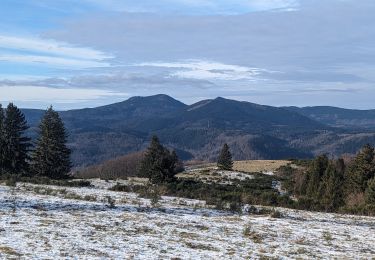
suuntoapp-Hiking-2024-01-21T12-04-41Z


Walking
Easy
Grendelbruch,
Grand Est,
Bas-Rhin,
France

12.1 km | 19.3 km-effort
4h 23min
Yes
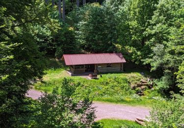
2023-05-28 Picnic CVA Cabane des 5 routes


Horseback riding
Medium
Mollkirch,
Grand Est,
Bas-Rhin,
France

36 km | 51 km-effort
6h 39min
Yes
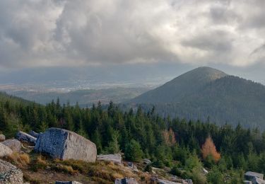
2019-11-30 Marche Rocher de Mutzig Noll


Walking
Very easy
Lutzelhouse,
Grand Est,
Bas-Rhin,
France

18.7 km | 29 km-effort
4h 39min
Yes

2013-05-12 Picnic CVA Maennelstein


Equestrian
Medium
(1)
Rosheim,
Grand Est,
Bas-Rhin,
France

29 km | 41 km-effort
2h 33min
Yes
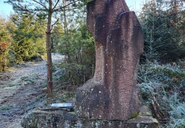
Lutzelhouse - place des musiciens - sculptures - grotte du loup - cascade de ...


Walking
Very difficult
Lutzelhouse,
Grand Est,
Bas-Rhin,
France

24 km | 37 km-effort
8h 29min
Yes


 SityTrail


