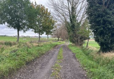
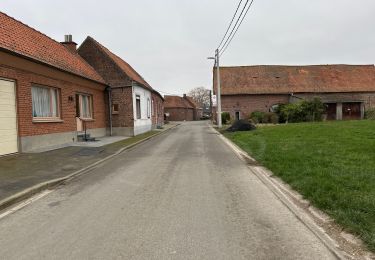
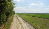
Trail Walking Camphin-en-Pévèle - De la voie romaine au Paris-Roubaix - Camphin en Pévèle - Photo

De la voie romaine au Paris-Roubaix - Camphin en Pévèle

 tracegps
tracegps

User

© OpenStreetMap contributors
Length
Length
17.2 km
Max alt
Max alt
77 m
Uphill gradient
Uphill gradient
100 m
Km-Effort
Km-Effort  
18.5 km
Min alt
Min alt
35 m
Downhill gradient
Downhill gradient
100 m
Boucle
Boucle
Yes
Creation date :
2014-12-10 00:00:00.0
Updated on :
2014-12-10 00:00:00.0

(0 Reviews)

Walking
Walking
4h15
Difficulty : Medium

Scan this QR Code to open this trail in the SityTrail application

FREE GPS app for hiking

Logo SityTrail SityTrail

IGN / Geographical institutes

Download SityTrail from the App Store Download SityTrail from Google Play

Logo SityTrail SityTrail World

The world is yours!

Download SityTrail from the App Store Download SityTrail from Google Play Download SityTrail on Huawei AppGallery

About

Trail Walking of 17.2 km to be discovered at Hauts-de-France, Nord, Camphin-en-Pévèle. This trail is proposed by tracegps.

Description

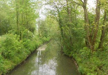
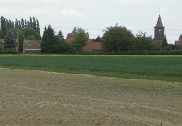
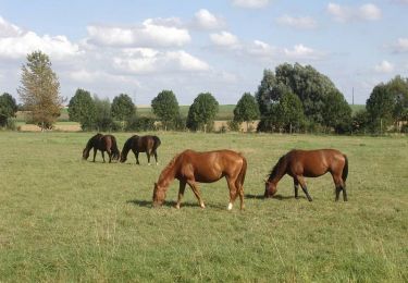
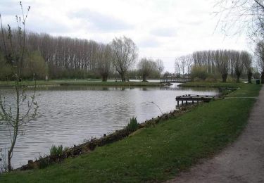
Bien qu’assez longue, cette boucle reste facile et vous permet de fouler une ancienne voie romaine avant de parcourir une campagne vallonnée à cheval sur la frontière et à 2 pas de Tournai et de son célèbre beffroi. Retrouvez la fiche n°9 de la pochette «Echappées belles à travers le Nord» sur le site du Comité Départemental du Tourisme du Nord. Ce circuit a été numérisé par les randonneurs du CODEPEM.

Elevation profile

Photos

Positioning

Country:
France
Region :
Hauts-de-France
Department/Province :
Nord
Municipality :
Camphin-en-Pévèle
Location:
Unknown
Start:(UTM)
518288 ; 5604826 (31U) N.

Trails nearby

Trail Walking Tressin - La Gariguette 2014 - Tressin - Photo
Walking
tracegps

Walking

Medium
(2)
Tressin, Hauts-de-France, Nord, France
12.9 km | 14 km-effort
3h 15min
Yes
Trail Mountain bike Bachy - De Bachy à Gruson   - Photo
Mountain bike
tracegps

Mountain bike

Medium
(1)
Bachy, Hauts-de-France, Nord, France
21 km | 23 km-effort
1h 30min
Yes
Trail Mountain bike Gruson - De l'arbre aux Marais - Gruson - Photo
Mountain bike
tracegps

Mountain bike

Medium
(1)
Gruson, Hauts-de-France, Nord, France
19.1 km | 20 km-effort
1h 30min
Yes
Trail Walking Willems - Boucle des Bonniers - Photo
Walking
tracegps

Walking

Medium
(1)
Willems, Hauts-de-France, Nord, France
10.4 km | 11 km-effort
2h 30min
Yes
Trail Equestrian Tournai - Loop of Templeuve - Photo
Equestrian
GUIDE+

Equestrian

Very easy
Tournai, Wallonia, Hainaut, Belgium
9.2 km | 9.8 km-effort
Unknown
Yes
Trail Equestrian Tournai - Loop of Froyennes - Photo
Equestrian
GUIDE+

Equestrian

Very easy
Tournai, Wallonia, Hainaut, Belgium
26 km | 28 km-effort
Unknown
Yes
Trail Equestrian Tournai - Loop of Blandain - Photo
Equestrian
GUIDE+

Equestrian

Very easy
Tournai, Wallonia, Hainaut, Belgium
11.6 km | 12.4 km-effort
Unknown
Yes
Trail Walking Tournai - Lamain 15 km - Photo
Walking
GUIDE
rvapeldo

Walking

Easy
Tournai, Wallonia, Hainaut, Belgium
15.2 km | 16.3 km-effort
4h 8min
Yes
Trail Walking Camphin-en-Pévèle - Camphin en Peleve 11,6 km - Photo
Walking
GUIDE
rvapeldo

Walking

Easy
Camphin-en-Pévèle, Hauts-de-France, Nord, France
11.6 km | 12.3 km-effort
3h 13min
Yes


Close
My subscriptions