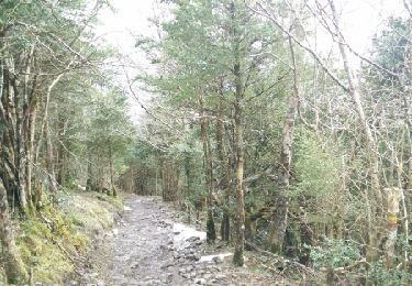
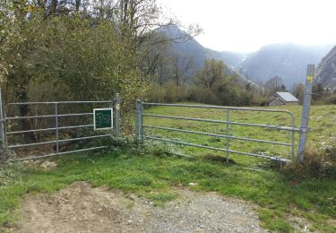
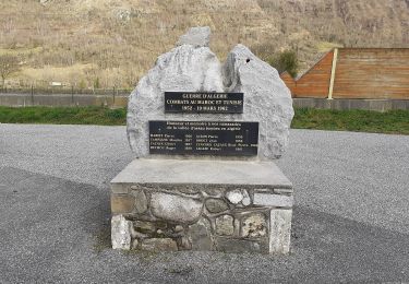
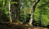
Trail Walking Castet - Le tour du Rey - Castet - Photo
 tracegps
tracegps

User

© OpenStreetMap contributors
Length
Length
10.9 km
Max alt
Max alt
1279 m
Uphill gradient
Uphill gradient
824 m
Km-Effort
Km-Effort  
22 km
Min alt
Min alt
750 m
Downhill gradient
Downhill gradient
821 m
Boucle
Boucle
Yes
Creation date :
2014-12-10 00:00:00.0
Updated on :
2014-12-10 00:00:00.0

(0 Reviews)

Walking
Walking
4h30
Difficulty : Difficult

Scan this QR Code to open this trail in the SityTrail application

FREE GPS app for hiking

Logo SityTrail SityTrail

IGN / Geographical institutes

Download SityTrail from the App Store Download SityTrail from Google Play

Logo SityTrail SityTrail World

The world is yours!

Download SityTrail from the App Store Download SityTrail from Google Play Download SityTrail on Huawei AppGallery

About

Trail Walking of 10.9 km to be discovered at New Aquitaine, Pyrénées-Atlantiques, Castet. This trail is proposed by tracegps.

Description

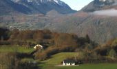
Circuit de 11,6km avec 920 . Départ au Port de Castet, après la barrière canadienne, à droite au niveau du parc à contention. La montagne du Rey est le premier belvédère de la vallée d'Ossau, elle offre une vue panoramique de Pau jusqu'au Pic du midi d'Ossau en passant par tous les hauts sommets qui dominent la vallée. Téléchargez la fiche du circuit n°18 sur le site de la vallée d'Ossau.

Elevation profile

Photos

Positioning

Country:
France
Region :
New Aquitaine
Department/Province :
Pyrénées-Atlantiques
Municipality :
Castet
Location:
Unknown
Start:(UTM)
713129 ; 4771255 (30T) N.

Trails nearby

Trail Walking Louvie-Juzon - Soum de las Picarras Montagne du Rey - Photo
Walking
DuMarsan

Walking

Easy
(1)
Louvie-Juzon, New Aquitaine, Pyrénées-Atlantiques, France
12.2 km | 25 km-effort
5h 16min
Yes
Trail Walking Bielle - BIELLE l arriu Mage reco  3443541 - Photo
Walking
GUIDE
marmotte65

Walking

Difficult
Bielle, New Aquitaine, Pyrénées-Atlantiques, France
8.7 km | 14.7 km-effort
2h 47min
Yes
Trail On foot Gère-Bélesten - La fontaine d'Esteret - Photo
On foot
GUIDE+

On foot

Easy
Gère-Bélesten, New Aquitaine, Pyrénées-Atlantiques, France
3.7 km | 7.6 km-effort
1h 43min
Yes
Trail On foot Bielle - L'Arriu-Mage - Photo
On foot
GUIDE+

On foot

Easy
Bielle, New Aquitaine, Pyrénées-Atlantiques, France
8 km | 14 km-effort
3h 10min
Yes
Trail On foot Louvie-Juzon - Le piémont du Rey - Photo
On foot
GUIDE+

On foot

Easy
Louvie-Juzon, New Aquitaine, Pyrénées-Atlantiques, France
3.5 km | 10.2 km-effort
2h 19min
No
Trail On foot Arudy - Le tour du bassin d'Arudy - Photo
On foot
GUIDE+

On foot

Medium
Arudy, New Aquitaine, Pyrénées-Atlantiques, France
19.2 km | 27 km-effort
6h 7min
Yes
Trail On foot Sainte-Colome - Les buis - Photo
On foot
GUIDE+

On foot

Easy
Sainte-Colome, New Aquitaine, Pyrénées-Atlantiques, France
6.1 km | 8.8 km-effort
2h 0min
Yes
Trail Walking Bielle - BIELLE Patrimoine
Walking
GUIDE
marmotte65

Walking

Easy
Bielle, New Aquitaine, Pyrénées-Atlantiques, France
1.7 km | 1.9 km-effort
1h 31min
Yes
Trail Walking Arudy - 2023 10 11 CHEMIN du PIÉMONT PYRÉNÉEN - 19ème étape : Arudy - Buzy - Ogeu-les-Bains - Herrère - Oloron-Ste-Marie - Photo
Walking
LEGUE

Walking

Medium
Arudy, New Aquitaine, Pyrénées-Atlantiques, France
24 km | 27 km-effort
5h 51min
No


Close
My subscriptions