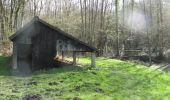

Val de Noxe - Villenauxe la Grande

tracegps
User

Length
33 km

Max alt
207 m

Uphill gradient
447 m

Km-Effort
39 km

Min alt
80 m

Downhill gradient
446 m
Boucle
Yes
Creation date :
2014-12-10 00:00:00.0
Updated on :
2014-12-10 00:00:00.0
6h30
Difficulty : Medium

FREE GPS app for hiking
About
Trail Walking of 33 km to be discovered at Grand Est, Aube, Villenauxe-la-Grande. This trail is proposed by tracegps.
Description
Circuit de 33 km organisé par la section de rando de Villenauxe à travers les vignobles et terroirs du val de Noxe. Pas de difficulté particulière si ce n'est la distance à tenir.
Positioning
Country:
France
Region :
Grand Est
Department/Province :
Aube
Municipality :
Villenauxe-la-Grande
Location:
Unknown
Start:(Dec)
Start:(UTM)
541146 ; 5382277 (31U) N.
Comments
Trails nearby
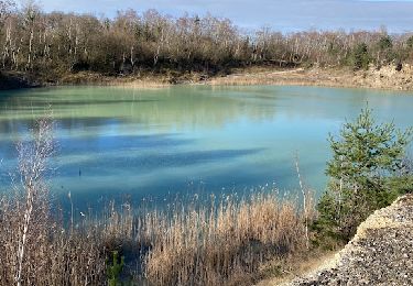
MONTPOTHIER, LE VILLAGE ET LES ETANGS


Walking
Medium
(1)
Montpothier,
Grand Est,
Aube,
France

7.5 km | 9.1 km-effort
2h 4min
Yes
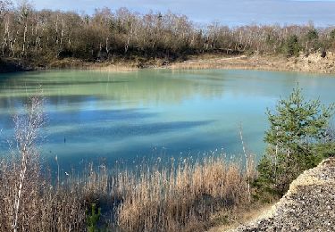
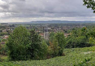
VILLENAUXE LA GRANDE, village et Val de Noxe


Walking
Medium
Villenauxe-la-Grande,
Grand Est,
Aube,
France

8.6 km | 10.6 km-effort
2h 24min
Yes
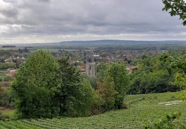
Villenauxe 3


Walking
Easy
Villenauxe-la-Grande,
Grand Est,
Aube,
France

4 km | 5 km-effort
1h 8min
Yes
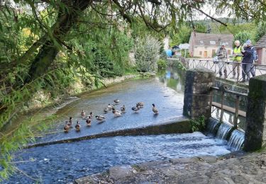
VILLENAUXE LA GRANDE 1


Walking
Difficult
Villenauxe-la-Grande,
Grand Est,
Aube,
France

11.3 km | 14.4 km-effort
3h 10min
Yes

Terroirs et vignes en Val de Noxe


Walking
Medium
(1)
Villenauxe-la-Grande,
Grand Est,
Aube,
France

18.4 km | 24 km-effort
5h 6min
Yes
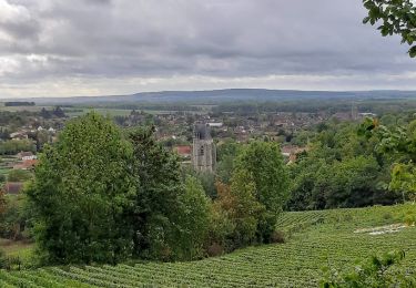
VILLENAUXE 2 le vignoble, les bois, la rivière Noxe, le village


Walking
Medium
(1)
Villenauxe-la-Grande,
Grand Est,
Aube,
France

7.8 km | 10.1 km-effort
2h 18min
Yes

Vignoble de Champagne et Vallée de la Noxe - Villenauxe la Grande


Cycle
Medium
(1)
Villenauxe-la-Grande,
Grand Est,
Aube,
France

66 km | 74 km-effort
3h 30min
Yes

Terroirs et vignes en Val de Noxe


Walking
Difficult
Villenauxe-la-Grande,
Grand Est,
Aube,
France

18.3 km | 23 km-effort
4h 15min
Yes


 SityTrail


