


8.5 km | 10.9 km-effort

User


FREE GPS app for hiking
 SityTrail
IGN / Geographical institutes
SityTrail World
The world is yours!
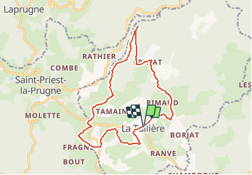
Trail Walking of 16 km to be discovered at Auvergne-Rhône-Alpes, Loire, La Tuilière. This trail is proposed by tracegps.
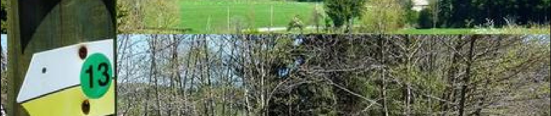
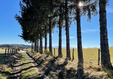
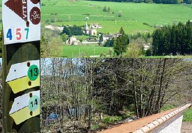
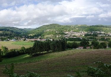
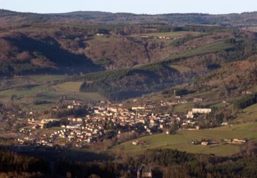
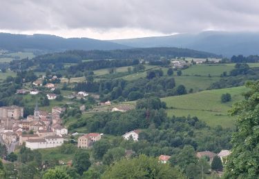
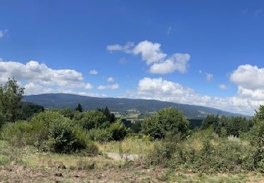
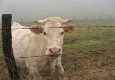
Départ du parking proche de l’église (panneaux des circuits marche et VTT). C’est le circuit N°14 qui se trouve dans le topoguide «Promenades et Randonnées en Pays d’Urfé» (30 circuits balisés). La Tuilière est sur l’axe routier entre Saint-Just-en-Chevalet et Vichy. Ce joli parcours situé au cœur d’un massif de moyenne montagne évolue en pleine nature authentique au calme et loin de tout urbanisme. Le bourg est lié à l’agriculture avec ses fermes agricoles et ses pâtures, mais aussi à l’exploitation du bois et à l’artisanat. Vous découvrirez de charmants petits hameaux avec de beaux points de vue sur les paysages et reliefs environnants. De nombreux petits ruisseaux agrémentent également cette boucle bucolique avec le bruit de l’eau qui chante au creux des vallons ou à flanc de montagne. Du parking de La Tuilerie, départs des circuits de marche N° 13 et 14 et départs des circuits VTT N° 4, 5 et 7 (voir photo village balisages). Topoguides : Promenades et Randonnées en Pays d’Urfé (30 circuits balisés) ; Espace VTT du Massif des Bois-Noirs (42 circuits balisés VTT-FFC).
 - La Tuilière - Photo 1")
 - La Tuilière - Photo 2")
 - La Tuilière - Photo 3")
 - La Tuilière - Photo 4")
 - La Tuilière - Photo 5")
 - La Tuilière - Photo 6")
Walking
Running

Mountain bike
Mountain bike
Mountain bike
Walking
Walking
Walking
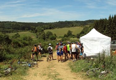
Mountain bike