Trail Walking Bitche - Etang de Hasselfurth et Hochkopf - Bitche - Photo

Etang de Hasselfurth et Hochkopf - Bitche

 tracegps
tracegps

User

© OpenStreetMap contributors
Length
Length
7.8 km
Max alt
Max alt
429 m
Uphill gradient
Uphill gradient
172 m
Km-Effort
Km-Effort  
10.1 km
Min alt
Min alt
295 m
Downhill gradient
Downhill gradient
174 m
Boucle
Boucle
Yes
Creation date :
2014-12-10 00:00:00.0
Updated on :
2014-12-10 00:00:00.0

(1 Reviews)

Walking
Walking
2h00
Difficulty : Medium

Scan this QR Code to open this trail in the SityTrail application

FREE GPS app for hiking

Logo SityTrail SityTrail
IGN / Geographical institutes

Download SityTrail from the App Store Download SityTrail from Google Play

Logo SityTrail SityTrail World

The world is yours!

Download SityTrail from the App Store Download SityTrail from Google Play Download SityTrail on Huawei AppGallery

About

Trail Walking of 7.8 km to be discovered at Grand Est, Moselle, Bitche. This trail is proposed by tracegps.

Description

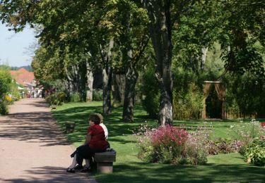
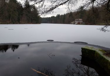
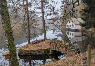
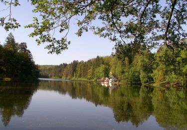
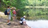
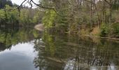
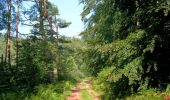
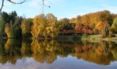
Une jolie balade qui passe par le point culminant de la région de Bitche. Départ du parking de l’étang de Hasselfurth, altitude 292 m. Suivre le chemin balisé triangle jaune, le long de l’étang de Hasselfurth, rive gauche. Au km 1,8 vous longez l’étang de Entenbaechel ; une petite retenue d'eau traversée par la Horn, rivière qui se jette dans le Schwarzbach à Zweibrücken. Au km 2,2, traversée du Entenbaechelthal, à proximité de la source de la Horn. Monter jusqu’au col du Widerschall et la route forestière du Hochkopf. Au parking forestier du col tourner à gauche sur chemin balisé chevalet vert. Montée au sommet du Hochkopf, km 4,1, point culminant de la région de Bitche, altitude 429 m. Les derniers mètres de la montée sont assez raides ! Maintenant commence la descente, en suivant toujours le chevalet vert, jusqu’à l’étang de Hasselfurth. Passer devant l’auberge du Lac pour rejoindre le parking du départ. Cet itinéraire est également repris dans le topoguide du club vosgien «Balades dans le Pays de Bitche» (1010 km).

Elevation profile

Photos

Positioning

Country:
France
Region :
Grand Est
Department/Province :
Moselle
Municipality :
Bitche
Location:
Unknown
Start:(UTM)
386057 ; 5433043 (32U) N.

Comments

Please log in to post a review or rate the element


Trails nearby

Trail Walking Bitche - Circuit panoramique de Bitche - Photo
Walking
tracegps

Walking

Medium
(2)
Bitche, Grand Est, Moselle, France
12.7 km | 16.7 km-effort
3h 25min
Yes
Trail Horseback riding Lemberg - suuntoapp-HorsebackRiding-2024-11-11T08-51-25Z - Photo
Horseback riding
GUIDE
holtzv

Horseback riding

Very easy
Lemberg, Grand Est, Moselle, France
28 km | 36 km-effort
4h 46min
Yes
Trail On foot Éguelshardt - Yellow diamond - Photo
On foot
GUIDE+

On foot

Easy
Éguelshardt, Grand Est, Moselle, France
4.2 km | 5.6 km-effort
1h 17min
No
Trail On foot Lemberg - Blue triangle - Photo
On foot
GUIDE+

On foot

Easy
Lemberg, Grand Est, Moselle, France
9 km | 10.9 km-effort
2h 29min
No
Trail On foot Lemberg - Blue ring - Photo
On foot
GUIDE+

On foot

Easy
Lemberg, Grand Est, Moselle, France
6.1 km | 7.9 km-effort
1h 48min
Yes
Trail On foot Lemberg - Cave trail - Photo
On foot
GUIDE+

On foot

Easy
Lemberg, Grand Est, Moselle, France
7.9 km | 11.3 km-effort
2h 33min
Yes
Trail On foot Mouterhouse - Grand Bildmuehle tour - Photo
On foot
GUIDE+

On foot

Easy
Mouterhouse, Grand Est, Moselle, France
6.5 km | 8.7 km-effort
1h 58min
Yes
Trail On foot Lemberg - Archaeological tour - Photo
On foot
GUIDE+

On foot

Easy
Lemberg, Grand Est, Moselle, France
8.7 km | 12 km-effort
2h 44min
Yes
Trail On foot Mouterhouse - Blue ring - Photo
On foot
GUIDE+

On foot

Easy
Mouterhouse, Grand Est, Moselle, France
6.4 km | 7.7 km-effort
1h 45min
Yes


Close
My subscriptions