


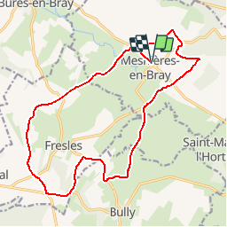

17.4 km | 22 km-effort

User


FREE GPS app for hiking
 SityTrail
IGN / Geographical institutes
SityTrail World
The world is yours!
Trail Walking of 17.6 km to be discovered at Normandy, Seine-Maritime, Mesnières-en-Bray. This trail is proposed by tracegps.
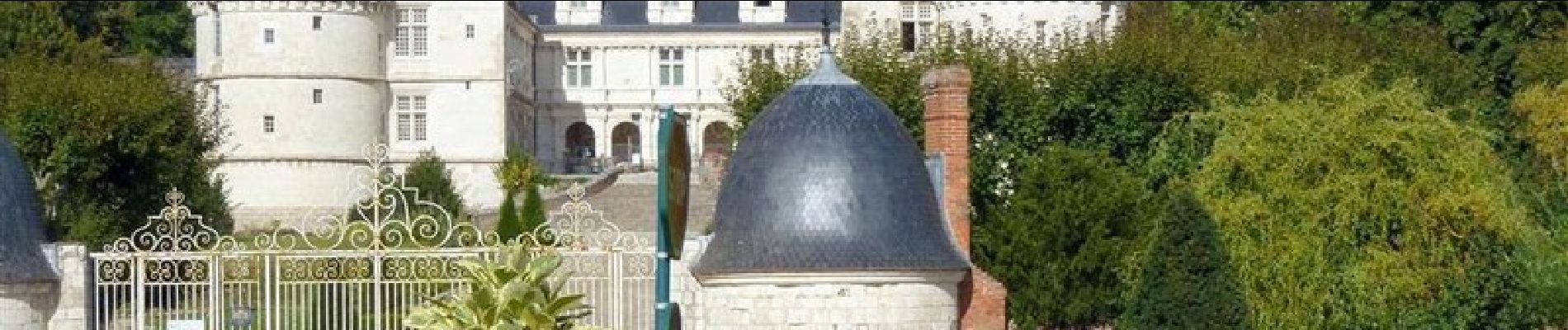
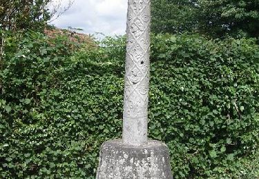
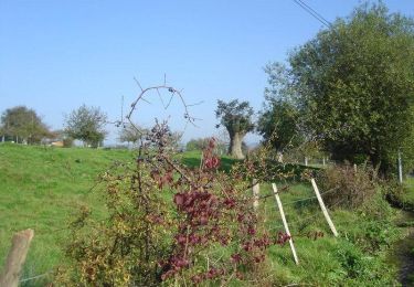
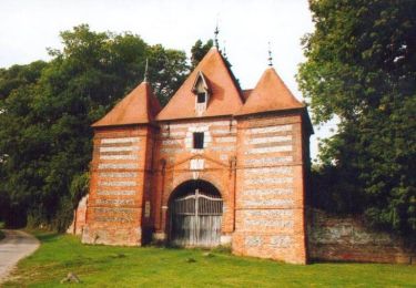
Le château de Mesnières est bien connu pour son allure de château de la Loire, en pays de Bray. Notre balade nous conduit sur les coteaux de la vallée de la Béthune, autour du château.


Walking
Walking

Walking

Walking
Mountain bike
Cycle
Mountain bike

Mountain bike

Mountain bike