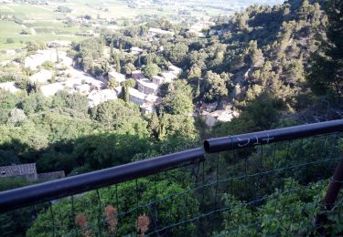
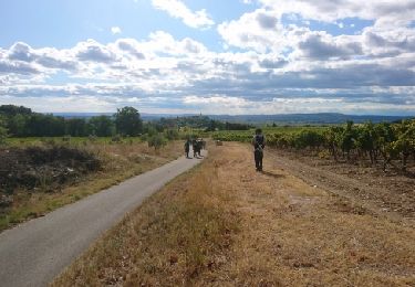
Trail Hybrid bike Rasteau - [Itinéraire] Gravel_Dentelles - Photo

[Itinéraire] Gravel_Dentelles

 denel
denel

User

© OpenStreetMap contributors
Length
Length
50 km
Max alt
Max alt
569 m
Uphill gradient
Uphill gradient
1114 m
Km-Effort
Km-Effort  
65 km
Min alt
Min alt
119 m
Downhill gradient
Downhill gradient
1114 m
Boucle
Boucle
Yes
Creation date :
2022-03-23 22:15:52.164
Updated on :
2022-03-23 22:19:56.287

(0 Reviews)

Hybrid bike
Hybrid bike
6h30
Difficulty : Difficult

Scan this QR Code to open this trail in the SityTrail application

FREE GPS app for hiking

Logo SityTrail SityTrail

IGN / Geographical institutes

Download SityTrail from the App Store Download SityTrail from Google Play

Logo SityTrail SityTrail World

The world is yours!

Download SityTrail from the App Store Download SityTrail from Google Play Download SityTrail on Huawei AppGallery

About

Trail Hybrid bike of 50 km to be discovered at Provence-Alpes-Côte d'Azur, Vaucluse, Rasteau. This trail is proposed by denel.

Description

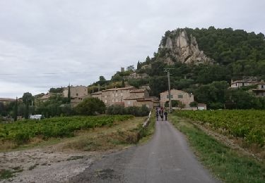
Superbe parcours pour une immersion au cœur du massif des Dentelles-de-Montmirail, découvrez ce haut lieu de l’escalade et ses quelques 500 voies équipées, ses villages pittoresques et souvent perchés, aux noms de grands crus de la vallée du Rhône !

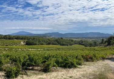
Cette boucle assez exigeante offre des points de vue magnifiques sur la plaine Comtadine, mais aussi sur le Géant de Provence.

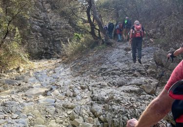
Au final, ce tour des Dentelles ne paie pas de mine avec ses petits 50 km, mais il se mérite, la succession de montées et descentes sur routes et sur pistes peut donner l’impression d’en avoir fait bien plus !

SOURCE : https://www.provence-a-velo.fr/equipements/vaison-la-romaine/gravel-dentelles/provence-5726274-1.html

Elevation profile

Positioning

Country:
France
Region :
Provence-Alpes-Côte d'Azur
Department/Province :
Vaucluse
Municipality :
Rasteau
Location:
Unknown
Start:(UTM)
658259 ; 4898638 (31T) N.

Trails nearby

Trail Walking Séguret - 170917 EnCours - Photo
Walking
MarcheEtReve

Walking

Very easy
(1)
Séguret, Provence-Alpes-Côte d'Azur, Vaucluse, France
6.3 km | 9.8 km-effort
2h 8min
Yes
Trail Walking Cairanne - Cairanne - Photo
Walking
legios84

Walking

Medium
(1)
Cairanne, Provence-Alpes-Côte d'Azur, Vaucluse, France
22 km | 28 km-effort
4h 32min
Yes
Trail Walking Roaix - Alentour de Roaix - Photo
Walking
atuttabirra

Walking

Very easy
(2)
Roaix, Provence-Alpes-Côte d'Azur, Vaucluse, France
10.1 km | 13.5 km-effort
2h 42min
Yes
Trail Walking Cairanne - Cairanne petite balade - Photo
Walking
aitkhedache

Walking

Easy
Cairanne, Provence-Alpes-Côte d'Azur, Vaucluse, France
6 km | 8.5 km-effort
2h 3min
Yes
Trail Walking Sablet - 2024-01-12_13h24m19_sablet-prebayon-seguret-reco-validee - Photo
Walking
Maryma

Walking

Medium
(1)
Sablet, Provence-Alpes-Côte d'Azur, Vaucluse, France
19 km | 27 km-effort
6h 9min
Yes
Trail Walking Sablet - Les crêtes de saint Amant  - Photo
Walking
jlouisvideo

Walking

Medium
Sablet, Provence-Alpes-Côte d'Azur, Vaucluse, France
13.8 km | 21 km-effort
6h 43min
Yes
Trail Walking Séguret - 2019-06-25 Seguret - Photo
Walking
jhack159

Walking

(1)
Séguret, Provence-Alpes-Côte d'Azur, Vaucluse, France
7.4 km | 11.4 km-effort
Unknown
Yes
Trail Walking Cairanne - 170919 EnCours - Photo
Walking
MarcheEtReve

Walking

Very easy
Cairanne, Provence-Alpes-Côte d'Azur, Vaucluse, France
7.9 km | 11 km-effort
2h 19min
Yes
Trail Walking Séguret - seguret fontaine fée - Photo
Walking
lunikodacious

Walking

Very easy
Séguret, Provence-Alpes-Côte d'Azur, Vaucluse, France
9.5 km | 12.8 km-effort
1h 42min
Yes


Close
My subscriptions