Trail Walking Gevresin - Le Rondé - Levier - Photo
 tracegps
tracegps

User

© OpenStreetMap contributors
Length
Length
5 km
Max alt
Max alt
755 m
Uphill gradient
Uphill gradient
107 m
Km-Effort
Km-Effort  
6.4 km
Min alt
Min alt
680 m
Downhill gradient
Downhill gradient
113 m
Boucle
Boucle
Yes
Creation date :
2014-12-10 00:00:00.0
Updated on :
2014-12-10 00:00:00.0

(0 Reviews)

Walking
Walking
1h15
Difficulty : Easy

Scan this QR Code to open this trail in the SityTrail application

FREE GPS app for hiking

Logo SityTrail SityTrail

IGN / Geographical institutes

Download SityTrail from the App Store Download SityTrail from Google Play

Logo SityTrail SityTrail World

The world is yours!

Download SityTrail from the App Store Download SityTrail from Google Play Download SityTrail on Huawei AppGallery

About

Trail Walking of 5 km to be discovered at Bourgogne-Franche-Comté, Doubs, Gevresin. This trail is proposed by tracegps.

Description

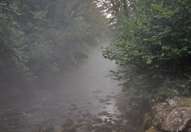
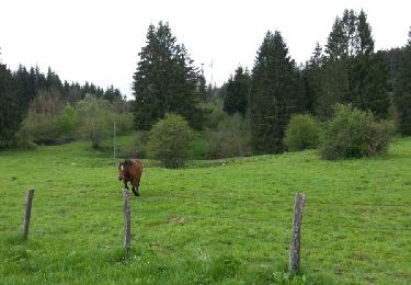
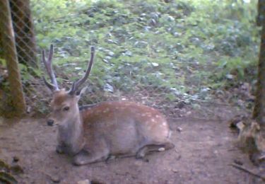
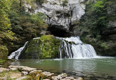
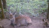
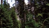
Combinaison de deux balades dans la forêt de Levier. Départ au niveau du parc du Rondé ( en bordure de la RD 72 entre Levier et Villeneuve d'Amont ) avec ses cerfs sika et son aire de jeu. Empruntez le chemin ( route de Masson ) qui monte à gauche de la route, puis le sentier botanique expliquant la végétation de la région avant de poursuivre sur une seconde boucle qui vous emmènera au milieu d’arbres remarquables tels que les épicéas du Roi de Rome. Des clairières aménagées (tables, aires de jeux...) pour le pique nique et la détente vous accueillent le long du parcours.

Elevation profile

Photos

Positioning

Country:
France
Region :
Bourgogne-Franche-Comté
Department/Province :
Doubs
Municipality :
Gevresin
Location:
Unknown
Start:(UTM)
276744 ; 5204479 (32T) N.

Trails nearby

Trail Walking Nans-sous-Sainte-Anne - Boucle du Lison - Photo
Walking
mallovon

Walking

Medium
Nans-sous-Sainte-Anne, Bourgogne-Franche-Comté, Doubs, France
6.2 km | 10.1 km-effort
2h 10min
Yes
Trail Walking Levier - Levier
Walking
eltonnermou

Walking

Very difficult
Levier, Bourgogne-Franche-Comté, Doubs, France
19 km | 24 km-effort
5h 20min
Yes
Trail Road bike Déservillers - vélo  - Photo
Road bike
mormal

Road bike

Very easy
Déservillers, Bourgogne-Franche-Comté, Doubs, France
9.3 km | 11.8 km-effort
50min
Yes
Trail Walking Levier - ronde  des sapins - Photo
Walking
mormal

Walking

Very easy
Levier, Bourgogne-Franche-Comté, Doubs, France
19 km | 25 km-effort
3h 54min
Yes
Trail Running Gevresin - Le Rondé - Levier - Photo
Running
tracegps

Running

Easy
Gevresin, Bourgogne-Franche-Comté, Doubs, France
5 km | 6.4 km-effort
30min
Yes
Trail Mountain bike Crouzet-Migette - Club VTT Rando 2012 - Photo
Mountain bike
norbertmarteau

Mountain bike

Difficult
Crouzet-Migette, Bourgogne-Franche-Comté, Doubs, France
33 km | 42 km-effort
5h 4min
No
Trail Cycle Levier - Le Mont Poupet - Doubs - Photo
Cycle
tracegps

Cycle

Difficult
Levier, Bourgogne-Franche-Comté, Doubs, France
69 km | 88 km-effort
3h 30min
Yes
Trail Walking Nans-sous-Sainte-Anne - Circuit des sources du Lison - Doubs - Photo
Walking
tracegps

Walking

Medium
(2)
Nans-sous-Sainte-Anne, Bourgogne-Franche-Comté, Doubs, France
5.1 km | 8.3 km-effort
1h 30min
Yes
Trail Walking Nans-sous-Sainte-Anne - La source du Lison et le creux Billard à Nans-sous-Sainte-Anne - Photo
Walking
GUIDE
Benjamin27

Walking

Easy
Nans-sous-Sainte-Anne, Bourgogne-Franche-Comté, Doubs, France
1.3 km | 2.4 km-effort
33min
Yes


Close
My subscriptions