


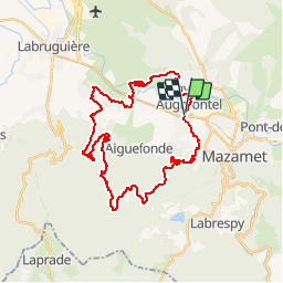

17.4 km | 29 km-effort

User


FREE GPS app for hiking
 SityTrail
IGN / Geographical institutes
SityTrail World
The world is yours!
Trail Mountain bike of 38 km to be discovered at Occitania, Tarn, Aiguefonde. This trail is proposed by tracegps.
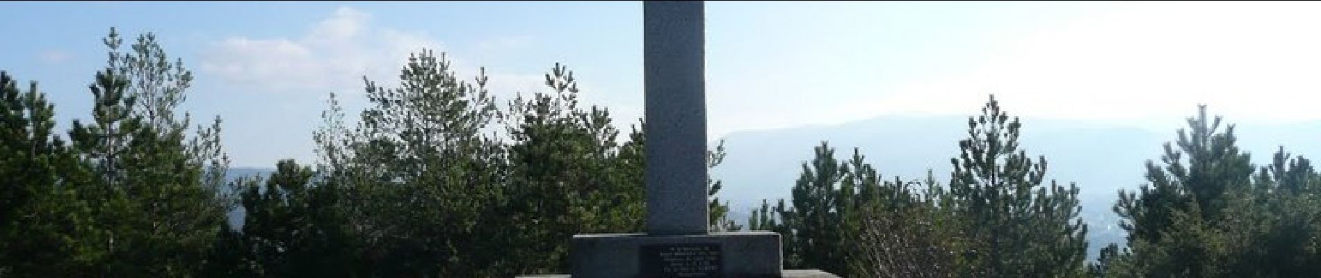
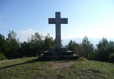
Ce circuit est assez difficile sur les dix premiers km mais joli par ces points de vue au passage des croix des vallées du Thore et du Causse que l'on traversera en partie sur le retour.


Walking

Walking

Walking

Walking

Mountain bike

Walking

Walking
Mountain bike
Walking