


15 km | 24 km-effort

User


FREE GPS app for hiking
 SityTrail
IGN / Geographical institutes
SityTrail World
The world is yours!
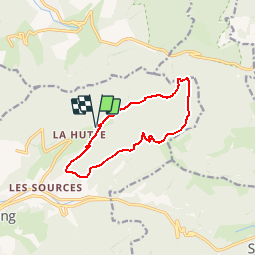
Trail Snowshoes of 10.4 km to be discovered at Grand Est, Vosges, Bussang. This trail is proposed by tracegps.
Circuit qui démarre à proximité du gîte de groupe «L'évasion» route de La Hutte. Vous monterez vers la ferme auberge «Le Drumont», à travers la forêt en passant devant 2 chalets qui vous permettront de faire une pause. Une fois à la ferme, vous pouvez toujours grimper au sommet du Drumont (1,3 km aller retour et 60 m de dénivelé supplémentaire), avec vue sur la plaine d'Alsace et par temps très clair, une vue superbe sur la chaîne des Alpes. Le retour se fait à travers la forêt, en passant devant le chalet du Pont Martin. Le circuit prenant différents balisages, se reporter à celui de la carte du club Vosgien pour les connaître. Pour le stationnement au départ, il n'y a pas de parking, le nombre de voiture est donc limité.


Walking

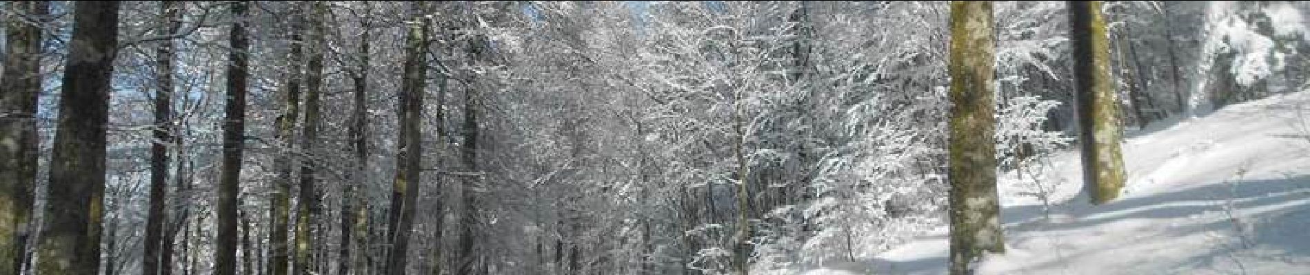
Snowshoes

Walking

Walking

Mountain bike

Walking

On foot

On foot

Mountain bike