46 km | 53 km-effort
ALAIN
calotalain
User
Length
12.9 km
Max alt
312 m
Uphill gradient
215 m
Km-Effort
15.8 km
Min alt
226 m
Downhill gradient
213 m
Boucle
Yes
Creation date :
2022-03-22 12:51:48.311
Updated on :
2022-03-22 16:52:15.311
3h59
Difficulty : Difficult
FREE GPS app for hiking
About
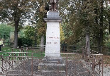
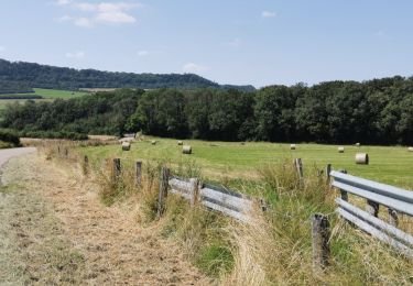
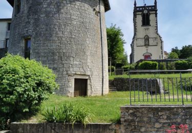
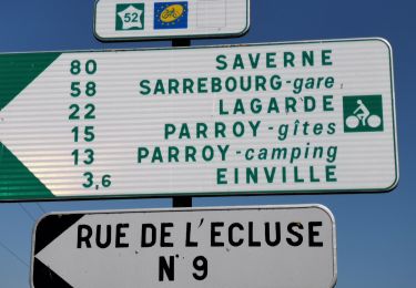
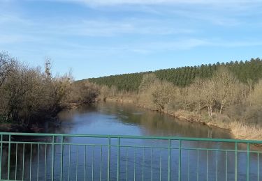
Trail Walking of 12.9 km to be discovered at Grand Est, Meurthe-et-Moselle, Coyviller. This trail is proposed by calotalain.
Positioning
Country:
France
Region :
Grand Est
Department/Province :
Meurthe-et-Moselle
Municipality :
Coyviller
Location:
Unknown
Start:(Dec)
Start:(UTM)
299518 ; 5385067 (32U) N.
Comments
Trails nearby
sortie vtt 21022023 rosière aux salines
Electric bike
Difficult
Rosières-aux-Salines,
Grand Est,
Meurthe-et-Moselle,
France
2h 6min
Yes
rosières aux salines
Walking
Medium
Rosières-aux-Salines,
Grand Est,
Meurthe-et-Moselle,
France
14.3 km | 16.6 km-effort
3h 9min
Yes
Menil-Benney
Mountain bike
Easy
Tonnoy,
Grand Est,
Meurthe-et-Moselle,
France
13.1 km | 16.9 km-effort
1h 11min
No
Rosieres, route des vergers, tour de Nancy
Coupling
Medium
Rosières-aux-Salines,
Grand Est,
Meurthe-et-Moselle,
France
9.8 km | 11.7 km-effort
1h 43min
No
16km-decouverte
Mountain bike
Easy
Flavigny-sur-Moselle,
Grand Est,
Meurthe-et-Moselle,
France
12.2 km | 16.2 km-effort
1h 17min
No
Tonnoy-Sion
Electric bike
Medium
Tonnoy,
Grand Est,
Meurthe-et-Moselle,
France
69 km | 81 km-effort
2h 59min
Yes
Vermois-Toulois-Saintois
Electric bike
Medium
Tonnoy,
Grand Est,
Meurthe-et-Moselle,
France
86 km | 100 km-effort
3h 45min
No
La Seille
Electric bike
Easy
Tonnoy,
Grand Est,
Meurthe-et-Moselle,
France
62 km | 72 km-effort
2h 49min
No
Tonnoy - Bois de Richardménil
Mountain bike
Difficult
Tonnoy,
Grand Est,
Meurthe-et-Moselle,
France
21 km | 26 km-effort
1h 47min
Yes