


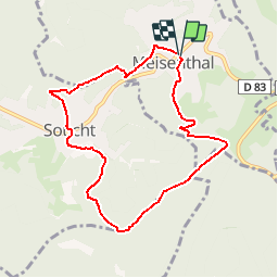

13.1 km | 17.5 km-effort

User


FREE GPS app for hiking
 SityTrail
IGN / Geographical institutes
SityTrail World
The world is yours!
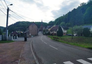
Trail Walking of 7.8 km to be discovered at Grand Est, Moselle, Meisenthal. This trail is proposed by tracegps.
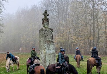
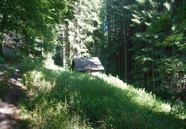
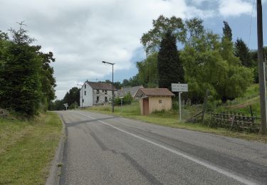
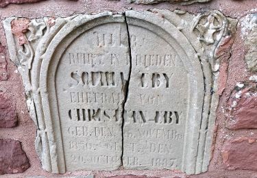
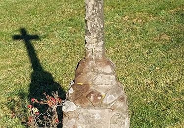
Le circuit démarre à Meisenthal-centre, place Emile Gallé. Passer devant les bâtiments du Site Verrier et monter vers l’abri de la Colonne en suivant le balisage croix jaune. Tourner à droite sur triangle rouge vers le rocher des Trois Pierre, Dreipetestein, avec les blasons des ducs de Lorraine et des seigneurs de Hanau-Lichtenberg. Continuer sur la route forestière de la Colonne, puis tourner à droite sur rectangle jaune-blanc-jaune vers le Kammerfelsen et le village de Soucht, l’église, la place de la République, monter rue docteur Schweitzer. Suivre anneau vert pour monter sur le Klausenberg. A l’antenne tourner à droite avant de redescendre vers la D83; Meisenthal rue de Soucht puis rue de la gare en suivant disque jaune. Traverser le parc pour rejoindre le parking Emile Gallé.


Walking
Horseback riding
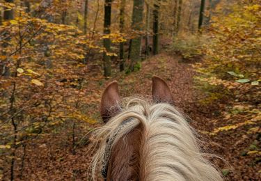
Horseback riding
Horseback riding
On foot
On foot
On foot
On foot