


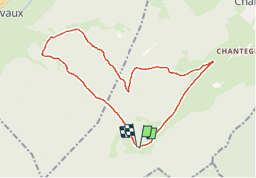

10.4 km | 13.8 km-effort

User


FREE GPS app for hiking
 SityTrail
IGN / Geographical institutes
SityTrail World
The world is yours!
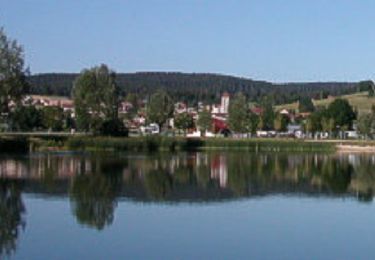
Trail Walking of 9.3 km to be discovered at Bourgogne-Franche-Comté, Doubs, Vaux-et-Chantegrue. This trail is proposed by tracegps.
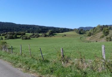
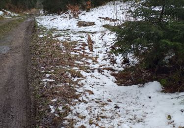
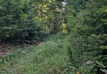
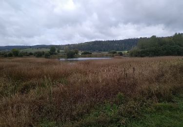
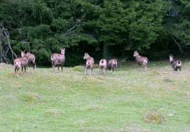
L'accès est très simple et vous ne risquez pas d'être dérangés par la foule. La rando traverse tous les milieux caractéristiques du Haut-Doubs, forêt de conifères, pâtures.


Walking

Walking
Walking
Walking
Walking

Walking
Mountain bike

Walking
Running