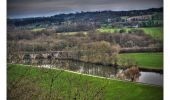
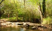
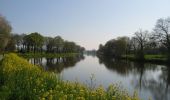
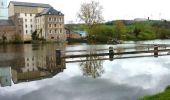
Trail Equestrian Lassy - Vallée du Ritoir et du Canut - Lassy  - Photo

Vallée du Ritoir et du Canut - Lassy

 tracegps
tracegps

User

© OpenStreetMap contributors
Length
Length
66 km
Max alt
Max alt
105 m
Uphill gradient
Uphill gradient
840 m
Km-Effort
Km-Effort  
78 km
Min alt
Min alt
3 m
Downhill gradient
Downhill gradient
918 m
Boucle
Boucle
No
Creation date :
2014-12-10 00:00:00.0
Updated on :
2014-12-10 00:00:00.0

(1 Reviews)

Equestrian
Equestrian
6h30
Difficulty : Very difficult

Scan this QR Code to open this trail in the SityTrail application

FREE GPS app for hiking

Logo SityTrail SityTrail

IGN / Geographical institutes

Download SityTrail from the App Store Download SityTrail from Google Play

Logo SityTrail SityTrail World

The world is yours!

Download SityTrail from the App Store Download SityTrail from Google Play Download SityTrail on Huawei AppGallery

About

Trail Equestrian of 66 km to be discovered at Brittany, Ille-et-Vilaine, Lassy. This trail is proposed by tracegps.

Description

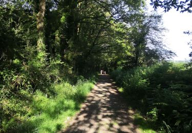
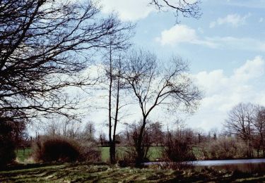
Lieu surprenant que vous serez amenés à traverser entre landes, forêts, rivière (le Canut) avec des reliefs. Il est bon de rappeler que la vallée du Canut est un espace naturel sensible protégé par le Conseil Général. Nous vous demandons donc de respecter les circuits équestres et de ne pas faire de hors-piste.

Elevation profile

Photos

Positioning

Country:
France
Region :
Brittany
Department/Province :
Ille-et-Vilaine
Municipality :
Lassy
Location:
Unknown
Start:(UTM)
583779 ; 5314591 (30T) N.

Comments

Please log in to post a review or rate the element


st germain


Trails nearby

Trail Walking Lassy - canut - Photo
Walking
Path VGK

Walking

Very easy
(1)
Lassy, Brittany, Ille-et-Vilaine, France
3.6 km | 4.5 km-effort
57min
Yes
Trail Walking Lassy - Les landes de lassy - Photo
Walking
slecalloch

Walking

Easy
(2)
Lassy, Brittany, Ille-et-Vilaine, France
8.7 km | 10.7 km-effort
2h 20min
Yes
Trail On foot Lassy - Circuit des Landes - Photo
On foot
GUIDE+

On foot

Easy
Lassy, Brittany, Ille-et-Vilaine, France
8.8 km | 10.9 km-effort
2h 28min
Yes
Trail On foot Lassy - Circuit des Ruisseaux - Photo
On foot
GUIDE+

On foot

Easy
Lassy, Brittany, Ille-et-Vilaine, France
9.9 km | 12 km-effort
2h 44min
No
Trail On foot Goven - La Lande de Caffort - Photo
On foot
GUIDE+

On foot

Easy
Goven, Brittany, Ille-et-Vilaine, France
11.4 km | 13.2 km-effort
3h 0min
Yes
Trail Walking Goven - Circuit de l'Ermitage - Photo
Walking
Marie therese Marteau

Walking

Difficult
Goven, Brittany, Ille-et-Vilaine, France
11.5 km | 13.4 km-effort
3h 2min
Yes
Trail Walking Bréal-sous-Montfort - breal montfort13 11 22 - Photo
Walking
electron19491

Walking

Medium
Bréal-sous-Montfort, Brittany, Ille-et-Vilaine, France
7.7 km | 8.6 km-effort
2h 22min
No
Trail Mountain bike Goven - goven - Photo
Mountain bike
Fredo-829

Mountain bike

Easy
Goven, Brittany, Ille-et-Vilaine, France
13.3 km | 15.1 km-effort
1h 6min
No
Trail Mountain bike Goven - 16.10.21 - Photo
Mountain bike
hubertbzh

Mountain bike

Medium
Goven, Brittany, Ille-et-Vilaine, France
20 km | 23 km-effort
1h 10min
No


Close
My subscriptions