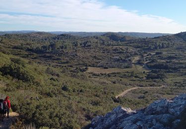
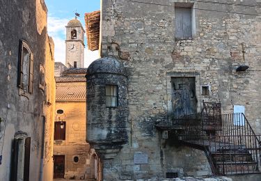
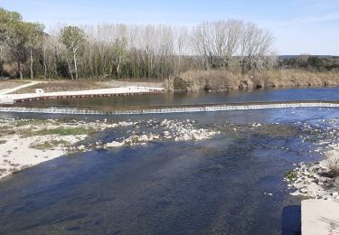
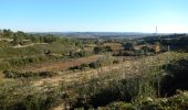
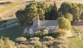
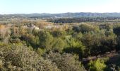
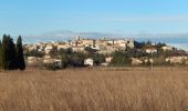
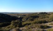
Trail Mountain bike Théziers - Domazan et le Castelas - Théziers - Photo

Domazan et le Castelas - Théziers

 tracegps
tracegps

User

© OpenStreetMap contributors
Length
Length
18.2 km
Max alt
Max alt
124 m
Uphill gradient
Uphill gradient
349 m
Km-Effort
Km-Effort  
23 km
Min alt
Min alt
11 m
Downhill gradient
Downhill gradient
347 m
Boucle
Boucle
Yes
Creation date :
2014-12-10 00:00:00.0
Updated on :
2014-12-10 00:00:00.0

(0 Reviews)

Mountain bike
Mountain bike
3h30
Difficulty : Difficult

Scan this QR Code to open this trail in the SityTrail application

FREE GPS app for hiking

Logo SityTrail SityTrail
IGN / Geographical institutes

Download SityTrail from the App Store Download SityTrail from Google Play

Logo SityTrail SityTrail World

The world is yours!

Download SityTrail from the App Store Download SityTrail from Google Play Download SityTrail on Huawei AppGallery

About

Trail Mountain bike of 18.2 km to be discovered at Occitania, Gard, Théziers. This trail is proposed by tracegps.

Description

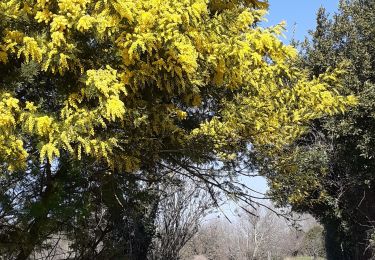
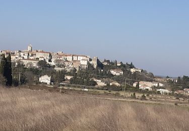
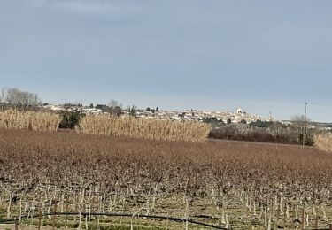
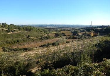
Du parking en haut du village de Théziers, partir vers l'église et descendre la Rue des Escaliers Prolongés. Traverser l’Avenue de la Gare et poursuivre parmi les vignes. Prendre le GR à droite jusqu’a la D19, la couper et suivre un bon chemin sablonneux. Au carrefour en "Y", monter dans la garrigue à droite pour atteindre un promontoire, belle vue sur Aramon et la vallée du Rhône. Longer les vignes et descendre par une sente jusqu'à un bon chemin. Passer sous le viaduc TGV, parvenir à un col et descendre à Domazan. Visiter puis se diriger vers Estezargues, très beau vignoble, avant de retourner vers Thézier. Monter au Castelas, aller voir la Chapelle St Amand, avant de retourner au parking par le GR. Autre départ possible de la place de Domazan. Visite possible des caves et caveaux de Domazan et Estézargues. Quelques portages en VTT. Bonne rando.

Elevation profile

Photos

Positioning

Country:
France
Region :
Occitania
Department/Province :
Gard
Municipality :
Théziers
Location:
Unknown
Start:(Dec)
Start:(UTM)
630096 ; 4862008 (31T) N.

Trails nearby

Trail Walking Aramon - Les Castillones  - Photo
Walking
GUIDE
nadinebondoux

Walking

Medium
Aramon, Occitania, Gard, France
17.7 km | 23 km-effort
4h 29min
Yes
Trail Walking Remoulins - remoulins by night - Photo
Walking
GUIDE
stef789

Walking

Easy
Remoulins, Occitania, Gard, France
4.6 km | 5.2 km-effort
1h 35min
No
Trail Walking Aramon - aramon - les castillonnes  - Photo
Walking
GUIDE
stef789

Walking

Easy
Aramon, Occitania, Gard, France
11.4 km | 13.8 km-effort
4h 16min
Yes
Trail Walking Remoulins -  Remoulins aqueducs - Photo
Walking
Manoune

Walking

Easy
Remoulins, Occitania, Gard, France
9.2 km | 11.3 km-effort
3h 10min
Yes
Trail Walking Remoulins - REMOULINS Léproserie de Castillon du Gard - Photo
Walking
Manoune

Walking

Medium
Remoulins, Occitania, Gard, France
12.1 km | 13.5 km-effort
3h 12min
No
Trail Walking Théziers - Trace rando Théziers - Fosses de Fournès - Photo
Walking
Maryma

Walking

Medium
(1)
Théziers, Occitania, Gard, France
16.6 km | 22 km-effort
4h 54min
Yes
Trail Walking Théziers - THEZIERS  Le Castellas - Photo
Walking
Manoune

Walking

Medium
Théziers, Occitania, Gard, France
19.8 km | 24 km-effort
6h 0min
Yes
Trail Walking Montfrin - Montfrin   chapelle St Amand - Photo
Walking
Manoune

Walking

Medium
Montfrin, Occitania, Gard, France
16.7 km | 19.3 km-effort
5h 12min
Yes
Trail Walking Théziers - Domazan et le Castelas - Théziers - Photo
Walking
tracegps

Walking

Difficult
Théziers, Occitania, Gard, France
18.2 km | 23 km-effort
5h 0min
Yes


Close
My subscriptions