


3.5 km | 4.2 km-effort


User


FREE GPS app for hiking
 SityTrail
IGN / Geographical institutes
SityTrail World
The world is yours!
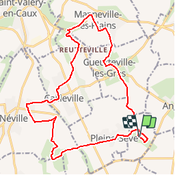
Trail Walking of 18.9 km to be discovered at Normandy, Seine-Maritime, Le Mesnil-Durdent. This trail is proposed by tracegps.
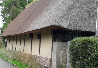
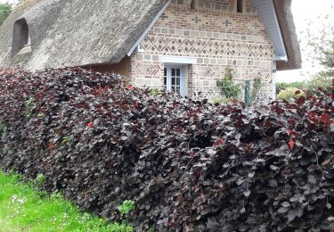
Jardin et parcours botanique sur la flore sauvage cauchoise du Mesnil-Durdent. Belles chaumières et château du Mesnil Geogffroy à proximité.


Walking

Walking
Walking

Other activity

Running

Walking

Other activity

Other activity
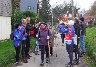
Walking