


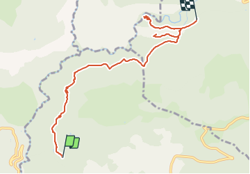

11.8 km | 16.4 km-effort


User


FREE GPS app for hiking
 SityTrail
IGN / Geographical institutes
SityTrail World
The world is yours!
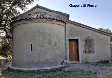
Trail Walking of 9.2 km to be discovered at Provence-Alpes-Côte d'Azur, Maritime Alps, Saint-Cézaire-sur-Siagne. This trail is proposed by soca.
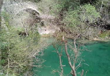
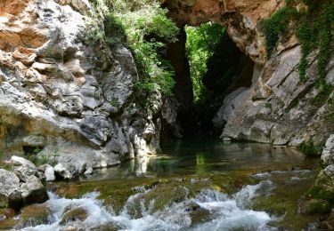
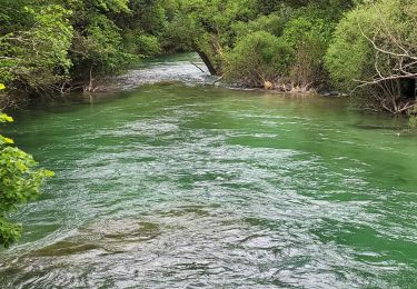
Cette randonnée longe le circuit d'eau avec une vue magnifique sur l'arrière pays Grassois en utilisant le tracé du GR®
510. On peut y voir le village de Mons.
Walking

Walking

Walking
Walking

Walking
Walking
Walking
Walking
Walking