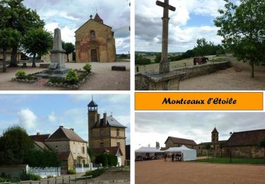
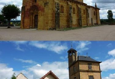
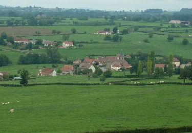
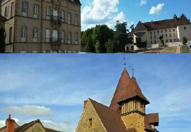
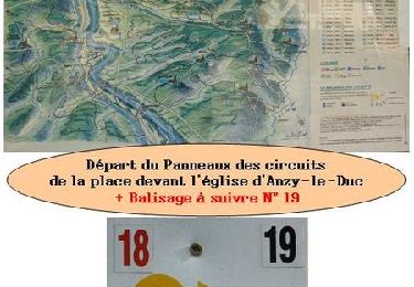
Trail Walking Sarry - Sarry Arconce et Charmays - Photo
 xabert
xabert

User

© OpenStreetMap contributors
Length
Length
13.8 km
Max alt
Max alt
362 m
Uphill gradient
Uphill gradient
245 m
Km-Effort
Km-Effort  
17.1 km
Min alt
Min alt
249 m
Downhill gradient
Downhill gradient
245 m
Boucle
Boucle
Yes
Creation date :
2022-03-20 08:27:15.0
Updated on :
2022-03-20 11:00:00.6

(0 Reviews)

Walking
Walking
2h32
Difficulty : Difficult

Scan this QR Code to open this trail in the SityTrail application

FREE GPS app for hiking

Logo SityTrail SityTrail

IGN / Geographical institutes

Download SityTrail from the App Store Download SityTrail from Google Play

Logo SityTrail SityTrail World

The world is yours!

Download SityTrail from the App Store Download SityTrail from Google Play Download SityTrail on Huawei AppGallery

About

Trail Walking of 13.8 km to be discovered at Bourgogne-Franche-Comté, Saône-et-Loire, Sarry. This trail is proposed by xabert.

Description

Une belle rando traversant L’Arconce à la planche de Laval puis surplombant cell-ci depuis la route Anzy-Charolles puis de nouveau traversée de L’Arconce par la planche de Gravois et final sur Sarry par le chemin de Chessy , la forêt des Charmays et la route de Gregaine  

Elevation profile

Positioning

Country:
France
Region :
Bourgogne-Franche-Comté
Department/Province :
Saône-et-Loire
Municipality :
Sarry
Location:
Unknown
Start:(UTM)
584166 ; 5129382 (31T) N.

Trails nearby

Trail Other activity Semur-en-Brionnais - quad YADRAQ01 - Photo
Other activity
yadraq01

Other activity

Very easy
(2)
Semur-en-Brionnais, Bourgogne-Franche-Comté, Saône-et-Loire, France
6.7 km | 8.6 km-effort
45min
Yes
Trail Mountain bike Montceaux-l'Étoile - Rando VTT à Montceaux l'Etoile 2013 - Seuilly (grand parcours) - Photo
Mountain bike
tracegps

Mountain bike

Very difficult
Montceaux-l'Étoile, Bourgogne-Franche-Comté, Saône-et-Loire, France
64 km | 82 km-effort
5h 0min
Yes
Trail Mountain bike Montceaux-l'Étoile - Rando VTT à Montceaux l'Etoile 2012 - La Fontaine (grand parcours) - Photo
Mountain bike
tracegps

Mountain bike

Difficult
Montceaux-l'Étoile, Bourgogne-Franche-Comté, Saône-et-Loire, France
49 km | 61 km-effort
3h 30min
Yes
Trail Mountain bike Anzy-le-Duc - Rando VTT des amis du foot -  Anzy-le-Duc - Photo
Mountain bike
tracegps

Mountain bike

Medium
Anzy-le-Duc, Bourgogne-Franche-Comté, Saône-et-Loire, France
34 km | 41 km-effort
2h 45min
Yes
Trail Mountain bike Sarry - Centre VTT FFC en Brionnais - Sarry - Parcours N°17 - Photo
Mountain bike
tracegps

Mountain bike

Difficult
Sarry, Bourgogne-Franche-Comté, Saône-et-Loire, France
17.8 km | 24 km-effort
2h 0min
Yes
Trail Mountain bike Marcigny - Centre VTT FFC en Brionnais - Marcigny - Parcours N°3 - Photo
Mountain bike
tracegps

Mountain bike

Medium
Marcigny, Bourgogne-Franche-Comté, Saône-et-Loire, France
36 km | 39 km-effort
3h 0min
Yes
Trail Mountain bike Anzy-le-Duc - VTT en Brionnais - Anzy-le-Duc - parcours N°19 - Photo
Mountain bike
tracegps

Mountain bike

Difficult
Anzy-le-Duc, Bourgogne-Franche-Comté, Saône-et-Loire, France
41 km | 52 km-effort
3h 30min
Yes
Trail Electric bike Anzy-le-Duc - VTT ae  - Photo
Electric bike
yadraq01

Electric bike

Medium
Anzy-le-Duc, Bourgogne-Franche-Comté, Saône-et-Loire, France
36 km | 48 km-effort
3h 0min
Yes
Trail sport Sarry - Sarry - Dree - Photo
sport
xabert

sport

Very easy
Sarry, Bourgogne-Franche-Comté, Saône-et-Loire, France
28 km | 35 km-effort
Unknown
No


Close
My subscriptions