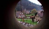
Trail Walking Sturzelbronn - La Main du Prince - Sturzelbronn - Photo

La Main du Prince - Sturzelbronn

 tracegps
tracegps

User

© OpenStreetMap contributors
Length
Length
22 km
Max alt
Max alt
384 m
Uphill gradient
Uphill gradient
505 m
Km-Effort
Km-Effort  
29 km
Min alt
Min alt
229 m
Downhill gradient
Downhill gradient
508 m
Boucle
Boucle
Yes
Creation date :
2014-12-10 00:00:00.0
Updated on :
2014-12-10 00:00:00.0

(0 Reviews)

Walking
Walking
5h30
Difficulty : Medium

Scan this QR Code to open this trail in the SityTrail application

FREE GPS app for hiking

Logo SityTrail SityTrail

IGN / Geographical institutes

Download SityTrail from the App Store Download SityTrail from Google Play

Logo SityTrail SityTrail World

The world is yours!

Download SityTrail from the App Store Download SityTrail from Google Play Download SityTrail on Huawei AppGallery

About

Trail Walking of 22 km to be discovered at Grand Est, Moselle, Sturzelbronn. This trail is proposed by tracegps.

Description

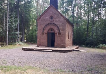
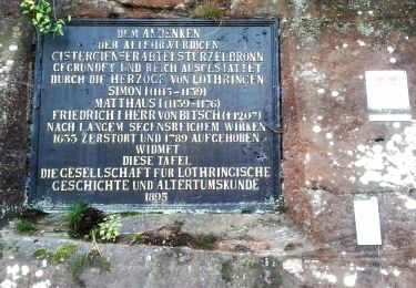
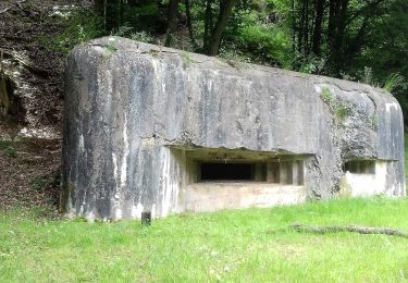
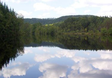
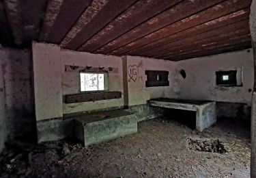
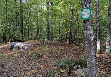
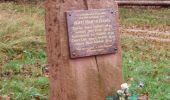
Départ du parking devant l’église de Sturzelbronn, devant le restaurant « A l’orée du bois », montée raide sur anneau vert puis descente vers maisons forestières et D87. Au niveau du pylône, monter à droite sur rectangle jaune vers col de la Rondelle, continuer vers Erbsenweiher. A l’étang tourner à gauche et suivre le losange jaune, sentier de la ligne Maginot, jusqu’au blockhaus de Grafenweiher. Traverser le Rothenbach sur triangle bleu. 500m après le hameau de Neudoerfel, quitter le chemin balisé et suivre à gauche un bon chemin jusqu’au hameau de Welschkobert (1,5km) où on suit le rectangle jaune à gauche jusqu’à l’étang de Welschkobert. Puis suivre, vers la droite, l’anneau rouge jusqu’à l’arrivée en passant par le hameau de Bremendell, à la stèle de 1940, la grande croix, la glacière des moines. Sur le bord droit de la route du retour vers Bitche, D35 à 4km de l’église, voir une pierre de légende «La Main du Prince».

Elevation profile

Photos

Positioning

Country:
France
Region :
Grand Est
Department/Province :
Moselle
Municipality :
Sturzelbronn
Location:
Unknown
Start:(UTM)
396646 ; 5434607 (32U) N.

Trails nearby

Trail Walking Éguelshardt - Notre Dame des Bois - Photo
Walking
oscar1

Walking

Medium
(1)
Éguelshardt, Grand Est, Moselle, France
17.3 km | 24 km-effort
4h 4min
Yes
Trail On foot Sturzelbronn - Autour des moines de Sturzelbronn - Photo
On foot
GUIDE+

On foot

Easy
Sturzelbronn, Grand Est, Moselle, France
10.9 km | 14.8 km-effort
3h 22min
Yes
Trail On foot Sturzelbronn - Scenic cross-border trail No. 3 - Photo
On foot
GUIDE+

On foot

Easy
Sturzelbronn, Grand Est, Moselle, France
10 km | 13.8 km-effort
3h 8min
Yes
Trail On foot Philippsbourg - Blue dot - Photo
On foot
GUIDE+

On foot

Easy
Philippsbourg, Grand Est, Moselle, France
6.6 km | 8.3 km-effort
1h 53min
No
Trail On foot Philippsbourg - Hanau Pond's long circular hike - Photo
On foot
GUIDE+

On foot

Medium
Philippsbourg, Grand Est, Moselle, France
16.4 km | 21 km-effort
4h 47min
Yes
Trail On foot Philippsbourg - Hanau Pond's medium circular hike - Photo
On foot
GUIDE+

On foot

Easy
Philippsbourg, Grand Est, Moselle, France
11.9 km | 14.8 km-effort
3h 21min
Yes
Trail On foot Philippsbourg - Hanau Pond's small circular hike - Photo
On foot
GUIDE+

On foot

Easy
Philippsbourg, Grand Est, Moselle, France
5.8 km | 7.3 km-effort
1h 39min
No
Trail On foot Sturzelbronn - Blue cross - Photo
On foot
GUIDE+

On foot

Difficult
Sturzelbronn, Grand Est, Moselle, France
27 km | 37 km-effort
8h 29min
No
Trail On foot Sturzelbronn - Scenic cross-border trail No. 4 - Photo
On foot
GUIDE+

On foot

Medium
Sturzelbronn, Grand Est, Moselle, France
19.1 km | 25 km-effort
5h 46min
Yes


Close
My subscriptions