42 km | 47 km-effort
kerleo
jmv77
User
Length
11 km
Max alt
28 m
Uphill gradient
84 m
Km-Effort
12.1 km
Min alt
0 m
Downhill gradient
79 m
Boucle
No
Creation date :
2022-03-19 10:59:01.112
Updated on :
2022-03-19 14:13:09.115
3h13
Difficulty : Very easy
FREE GPS app for hiking
About
Trail Walking of 11 km to be discovered at Brittany, Finistère, Trégunc. This trail is proposed by jmv77.
Description
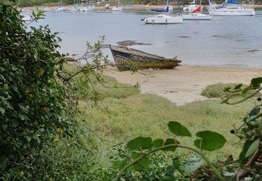
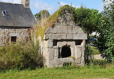
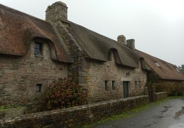
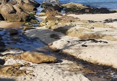
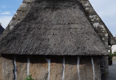
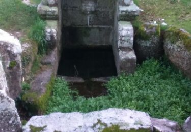
balade sympas belle au début ensuite un peu bitumé mais jolis coins et maisons à voir
Positioning
Country:
France
Region :
Brittany
Department/Province :
Finistère
Municipality :
Trégunc
Location:
Unknown
Start:(Dec)
Start:(UTM)
437159 ; 5295595 (30T) N.
Comments
Trails nearby
Samedi 4 novembre 2012
Walking
Very easy
(1)
Névez,
Brittany,
Finistère,
France
6.6 km | 7.2 km-effort
1h 16min
Yes
Randonnee de Trévignon - Trégunc
Walking
Easy
(2)
Trégunc,
Brittany,
Finistère,
France
6.7 km | 7.3 km-effort
1h 45min
Yes
Yregunc re ar wenodenn
Walking
Easy
Trégunc,
Brittany,
Finistère,
France
5.8 km | 6.2 km-effort
1h 33min
Yes
Saint Philibert-Trévignon plage
Walking
Medium
Trégunc,
Brittany,
Finistère,
France
7.1 km | 7.7 km-effort
1h 55min
Yes
Kerascoët- Plage de Tahiti-Raguenez
Walking
Very easy
Névez,
Brittany,
Finistère,
France
3.8 km | 4.3 km-effort
2h 34min
Yes
Tregunc - Nevez
Walking
Medium
(1)
Trégunc,
Brittany,
Finistère,
France
23 km | 25 km-effort
5h 50min
Yes