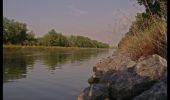
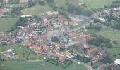
Trail Walking Robecq - Sentier les tchiens - Robecq - Photo

Sentier les tchiens - Robecq

 tracegps
tracegps

User

© OpenStreetMap contributors
Length
Length
12 km
Max alt
Max alt
23 m
Uphill gradient
Uphill gradient
46 m
Km-Effort
Km-Effort  
12.7 km
Min alt
Min alt
14 m
Downhill gradient
Downhill gradient
46 m
Boucle
Boucle
Yes
Creation date :
2014-12-10 00:00:00.0
Updated on :
2014-12-10 00:00:00.0

(1 Reviews)

Walking
Walking
3h00
Difficulty : Medium

Scan this QR Code to open this trail in the SityTrail application

FREE GPS app for hiking

Logo SityTrail SityTrail

IGN / Geographical institutes

Download SityTrail from the App Store Download SityTrail from Google Play

Logo SityTrail SityTrail World

The world is yours!

Download SityTrail from the App Store Download SityTrail from Google Play Download SityTrail on Huawei AppGallery

About

Trail Walking of 12 km to be discovered at Hauts-de-France, Pas-de-Calais, Robecq. This trail is proposed by tracegps.

Description

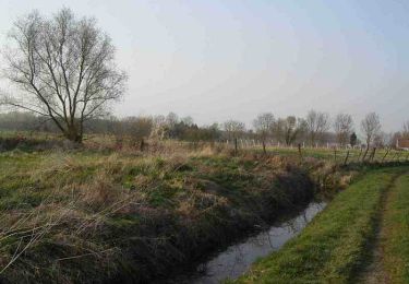
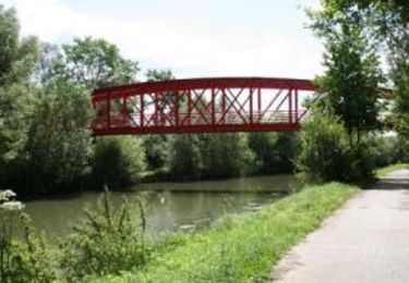
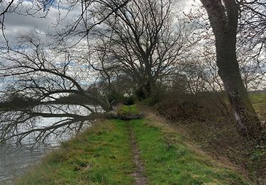
Au départ de Robecq, le sentier des Tchiens (qui tire son nom du sobriquet donné aux habitants de la commune autrefois) est en cours d'aménagement et sera labellisé FFRandonnée. Il emmène les marcheurs sur une distance de 12,5 km (ou 7 km en boucle). On se trouve ici dans le pays où foisonnent les cours d'eau et étangs. Pas étonnant donc si les randonneurs pédestres côtoient des chemins de toute nature au cours de leur progression, notamment le long du chemin de halage, les rivières telles la Clarence, la Nave, le Grand Nocq (qui passe sous le canal d'Aire), les étangs de la Biette et bon nombre de plans d'eau privés, tout en découvrant des paysages variés, riches en flore et faune dans les zones humides. Un véritable bain de verdure et de fraîcheur.

Elevation profile

Photos

Positioning

Country:
France
Region :
Hauts-de-France
Department/Province :
Pas-de-Calais
Municipality :
Robecq
Location:
Unknown
Start:(UTM)
469135 ; 5604888 (31U) N.

Comments

Please log in to post a review or rate the element


Trails nearby

Trail Walking Hinges - Le Rietz  -  Hinges - Photo
Walking
tracegps

Walking

Medium
(3)
Hinges, Hauts-de-France, Pas-de-Calais, France
12.3 km | 13.4 km-effort
3h 0min
Yes
Trail Other activity Saint-Venant - le_sentier_des_deux_ecluses - Photo
Other activity
LaHAL

Other activity

Medium
Saint-Venant, Hauts-de-France, Pas-de-Calais, France
12.5 km | 13 km-effort
Unknown
Yes
Trail Walking Busnes - Le Béniau - Busnes - Photo
Walking
tracegps

Walking

Medium
Busnes, Hauts-de-France, Pas-de-Calais, France
13 km | 13.6 km-effort
3h 0min
Yes
Trail Walking Busnes - Busnes et le canal d'aire. - Photo
Walking
BrassensJC

Walking

Medium
Busnes, Hauts-de-France, Pas-de-Calais, France
6.9 km | 7.2 km-effort
1h 38min
Yes
Trail Walking Saint-Venant - saint VENANT - Photo
Walking
eaea7charles

Walking

Easy
Saint-Venant, Hauts-de-France, Pas-de-Calais, France
12.5 km | 13.1 km-effort
2h 55min
Yes
Trail Walking Hinges - Hinges le Pacault 8.1 km - Photo
Walking
Blourouce

Walking

Easy
(2)
Hinges, Hauts-de-France, Pas-de-Calais, France
8.1 km | 8.7 km-effort
2h 0min
Yes
Trail Walking Haverskerque - circuit du tannay - Photo
Walking
christiancampagnie

Walking

Easy
Haverskerque, Hauts-de-France, Nord, France
5.9 km | 6.3 km-effort
Unknown
Yes
Trail Running Saint-Venant - GR de Pays Tour de la Lys - Photo
Running
tracegps

Running

Very difficult
Saint-Venant, Hauts-de-France, Pas-de-Calais, France
81 km | 89 km-effort
9h 0min
Yes
Trail Mountain bike Saint-Venant - GR de Pays Tour de la Lys - Photo
Mountain bike
tracegps

Mountain bike

Difficult
Saint-Venant, Hauts-de-France, Pas-de-Calais, France
81 km | 89 km-effort
4h 0min
Yes


Close
My subscriptions