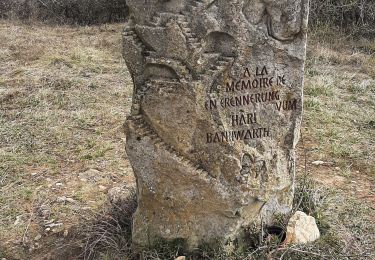
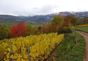
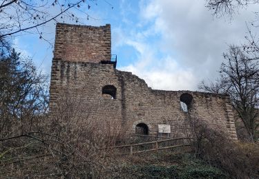
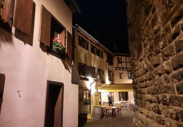
Trail Walking Gueberschwihr - La promenade du Grand Cru Goldert - Gueberschwihr - Photo

La promenade du Grand Cru Goldert - Gueberschwihr

 tracegps
tracegps

User

© OpenStreetMap contributors
Length
Length
4.1 km
Max alt
Max alt
381 m
Uphill gradient
Uphill gradient
134 m
Km-Effort
Km-Effort  
5.9 km
Min alt
Min alt
260 m
Downhill gradient
Downhill gradient
139 m
Boucle
Boucle
Yes
Creation date :
2014-12-10 00:00:00.0
Updated on :
2014-12-10 00:00:00.0

(0 Reviews)

Walking
Walking
1h30
Difficulty : Easy

Scan this QR Code to open this trail in the SityTrail application

FREE GPS app for hiking

Logo SityTrail SityTrail

IGN / Geographical institutes

Download SityTrail from the App Store Download SityTrail from Google Play

Logo SityTrail SityTrail World

The world is yours!

Download SityTrail from the App Store Download SityTrail from Google Play Download SityTrail on Huawei AppGallery

About

Trail Walking of 4.1 km to be discovered at Grand Est, Haut-Rhin, Gueberschwihr. This trail is proposed by tracegps.

Description

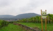
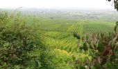
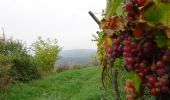
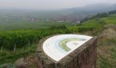
Gueberschwihr : Cité médiévale caractéristique de la Route des Vins, blottie à flanc de coteaux dans un écrin verdoyant, cette belle bourgade a gardé son charme d’antan, son authenticité et son riche patrimoine architectural. Dominant la place du village, le clocher roman du 12ème siècle, joyau du village, est une des étapes incontournables de la Route Romane d’Alsace. Son Grand Cru Goldert et son sentier viticole complètent harmonieusement ce décor idyllique. La promenade du Grand Cru Goldert présente un ensemble de panneaux d’information spécifique sur la biodiversité des collines du piémont viticole. Pour le promeneur, cette découverte implique d’abord un cheminement au travers de quelques ruelles caractéristiques de la richesse médiévale de Gueberschwihr. La promenade gagne ensuite progressivement le vignoble en longeant la lisière de la forêt. C’est à l’arrivée à la table d’orientation que le paysage s’ouvre pleinement et donne toute sa force contemplative. Le surplomb de la plaine est important et le regard est rapidement invité à se porter au loin, sur le Kaiserstuhl et la Forêt Noire en particulier. ® Départ : Place de la Mairie à Gueberschwihr.

Elevation profile

Photos

Positioning

Country:
France
Region :
Grand Est
Department/Province :
Haut-Rhin
Municipality :
Gueberschwihr
Location:
Unknown
Start:(UTM)
371386 ; 5318211 (32U) N.

Trails nearby

Trail Walking Westhalten - 2021 03 04 Westhalten - Photo
Walking
E.BURCK

Walking

Easy
(1)
Westhalten, Grand Est, Haut-Rhin, France
7.7 km | 11.3 km-effort
2h 21min
Yes
Trail Walking Osenbach - Osenbach - Sentier des Sols - Photo
Walking
gscheven

Walking

Easy
(1)
Osenbach, Grand Est, Haut-Rhin, France
4.7 km | 6.6 km-effort
3h 0min
Yes
Trail Walking Eguisheim - suuntoapp-Hiking-2023-12-29T09-05-16Z - Photo
Walking
GUIDE
holtzv

Walking

Medium
Eguisheim, Grand Est, Haut-Rhin, France
22 km | 32 km-effort
7h 16min
Yes
Trail Walking Rouffach - SityTrail - Rouffach vers Schauenberg variante - Photo
Walking
E.BURCK

Walking

Easy
(1)
Rouffach, Grand Est, Haut-Rhin, France
10.6 km | 15.3 km-effort
3h 29min
Yes
Trail Walking Westhalten - ND du Hubel_Schauenberg - Photo
Walking
dick68

Walking

Medium
(2)
Westhalten, Grand Est, Haut-Rhin, France
8.3 km | 11.7 km-effort
2h 39min
Yes
Trail Walking Pfaffenheim - Schauenberg 1 - Photo
Walking
regisbodilis

Walking

Easy
(1)
Pfaffenheim, Grand Est, Haut-Rhin, France
10.3 km | 16.5 km-effort
3h 30min
Yes
Trail Walking Eguisheim - eguishem- vignoble et château  - Photo
Walking
GUIDE
blechanteur

Walking

Medium
Eguisheim, Grand Est, Haut-Rhin, France
9.3 km | 13 km-effort
2h 34min
Yes
Trail Walking Eguisheim - SityTrail - 2709807 - eguisheim-husseren-les-chateux- - Photo
Walking
ABICHE

Walking

Medium
(1)
Eguisheim, Grand Est, Haut-Rhin, France
8.4 km | 11.5 km-effort
2h 37min
Yes
Trail Walking Pfaffenheim - Marche TL 10/2024 - Parking Chataignier- ND du Schauenburg-Rocher du Coucou-Carrières de Gueberschwihr-Sentier de découvertes- Taverne médiévale-Chapelle St Léonard et retour - Photo
Walking
patrickbeyrath

Walking

Difficult
(1)
Pfaffenheim, Grand Est, Haut-Rhin, France
8.5 km | 12.5 km-effort
2h 50min
Yes


Close
My subscriptions