![](/images/other/stat-length.png)
![Trail Mountain bike Persan - Randonnée des 3 forêts - Persan - Photo](https://media.geolcdn.com/t/1900/400/ext.pjpeg?maxdim=2&url=https%3A%2F%2Fservices.sitytrail.com%2FGeolivesWS%2FDownloadMedia.ashx%3FTrailID%3D317168%26Media%3D16325_1.jpg)
Randonnée des 3 forêts - Persan
tracegps
User
![Length](/images/other/stat-length.png)
![Max alt](https://static1.geolcdn.com/siteimages/upload/files/1508320355ic_sort_altitude_max_24dp.png)
![Uphill gradient](https://static1.geolcdn.com/siteimages/upload/files/1508320355ic_sort_den_pos_24dp.png)
![Km-Effort](/images/other/stat-length.png)
![Min alt](https://static1.geolcdn.com/siteimages/upload/files/1508320355ic_sort_altitude_min_24dp.png)
![Downhill gradient](https://static1.geolcdn.com/siteimages/upload/files/1508320355ic_sort_den_neg_24dp.png)
![Boucle](https://static1.geolcdn.com/siteimages/upload/files/16400158638029165_repeat_loop_refresh_sync_direction_icon.png)
![Mountain bike](https://static1.geolcdn.com/sitytour/trail-icons/202.png)
3h15
Difficulty : Difficult
![Scan this QR Code to open this trail in the SityTrail application](https://capi.geolives.com/qq0zvz2zws4bq2lad0pu/sitytour/trails/317168/qr.png?size=200)
FREE GPS app for hiking
About
Trail Mountain bike of 56 km to be discovered at Ile-de-France, Val-d'Oise, Persan. This trail is proposed by tracegps.
Description
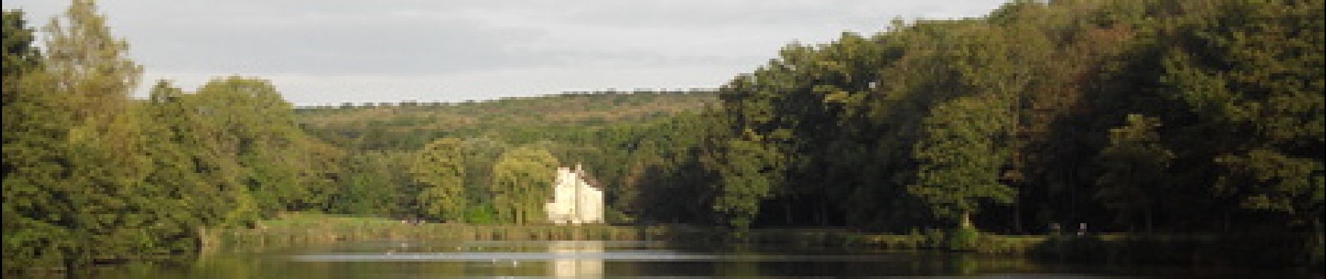
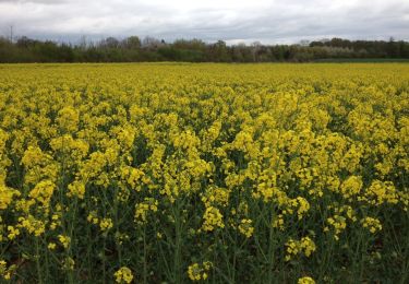
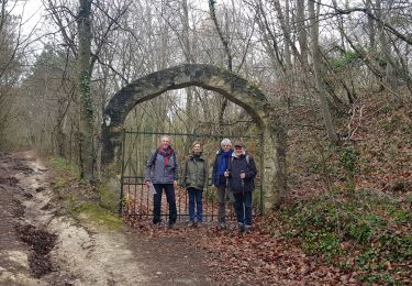
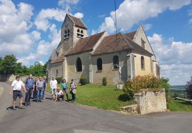
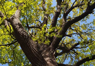
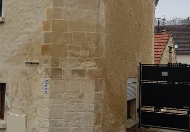
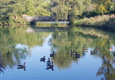
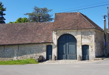
Ce parcours traverse successivement, les forêts domaniales de l'Isle-Adam, Montmorency pour finir vers Carnelle. Le départ de Persan permet de s’échauffer sur du plat jusqu’à la forêt de l'Isle-Adam. Vous pouvez faire une pause à mi parcours en forêt de Montmorency autour des étangs du Château de la Chasse, ensuite direction la forêt de Carnelle, passage près de la Pierre Turquaise (La Pierre Turquaise est constituée de 3 dalles de couverture en grès de 8 à 18 t, reposant sur une dizaine de blocs), enfin une petite boucle autour du lac bleu et du petit Etang avant de rejoindre Persan via Beaumont sur Oise.
Positioning
Comments
Trails nearby
![Trail Walking Presles - autour de Presles - Photo](https://media.geolcdn.com/t/375/260/ext.jpg?maxdim=2&url=https%3A%2F%2Fservices.sitytrail.com%2FGeolivesWS%2FDownloadMedia.ashx%3FTrailID%3D263831%26Media%3D20140406161403.jpg)
![Walking Walking](https://static1.geolcdn.com/sitytour/trail-icons/101.png)
Walking
![](/images/other/stat-length.png)
![](https://static1.geolcdn.com/siteimages/upload/files/16400158638029165_repeat_loop_refresh_sync_direction_icon.png)
![Trail Walking Beaumont-sur-Oise - Rando Beaumont-Carnelle - Photo](https://media.geolcdn.com/t/375/260/ext.jpg?maxdim=2&url=https%3A%2F%2Fstatic1.geolcdn.com%2Fsiteimages%2Fupload%2Ffiles%2F1553511878bg_sport_marche.png)
![Walking Walking](https://static1.geolcdn.com/sitytour/trail-icons/101.png)
Walking
![](/images/other/stat-length.png)
![](https://static1.geolcdn.com/siteimages/upload/files/16400158638029165_repeat_loop_refresh_sync_direction_icon.png)
![Trail Walking Champagne-sur-Oise - Vaux Chateaude Chambly Ronquerole - Photo](https://media.geolcdn.com/t/375/260/cbee2e0f-c40e-40ad-a67b-eb4ac34cdc7c.jpg&format=jpg&maxdim=2)
![Walking Walking](https://static1.geolcdn.com/sitytour/trail-icons/101.png)
Walking
![](/images/other/stat-length.png)
![](https://static1.geolcdn.com/siteimages/upload/files/16400158638029165_repeat_loop_refresh_sync_direction_icon.png)
![Trail Walking Beaumont-sur-Oise - Beaumont Noisy Asnieres - Photo](https://media.geolcdn.com/t/375/260/2d5753c2-c132-43d7-bbc8-de8d7b24df51.jpg&format=jpg&maxdim=2)
![Walking Walking](https://static1.geolcdn.com/sitytour/trail-icons/101.png)
Walking
![](/images/other/stat-length.png)
![](https://static1.geolcdn.com/siteimages/upload/files/16400158638029165_repeat_loop_refresh_sync_direction_icon.png)
![Trail Walking Beaumont-sur-Oise - Beaumont sur oise Noisy sur oise - Photo](https://media.geolcdn.com/t/375/260/6ac51007-0034-4683-b03e-81d6f9e3780c.jpg&format=jpg&maxdim=2)
![Walking Walking](https://static1.geolcdn.com/sitytour/trail-icons/101.png)
Walking
![](/images/other/stat-length.png)
![](https://static1.geolcdn.com/siteimages/upload/files/16400158638029165_repeat_loop_refresh_sync_direction_icon.png)
![Trail Walking Chambly - Chambly - Photo](https://media.geolcdn.com/t/375/260/6613ec3d-0a8a-4d6f-9105-121b42c2bda5.jpg&format=jpg&maxdim=2)
![Walking Walking](https://static1.geolcdn.com/sitytour/trail-icons/101.png)
![Trail Walking L'Isle-Adam - L,'Isle Adam Cassin - Photo](https://media.geolcdn.com/t/375/260/efdeca47-2348-40d7-bcde-6e524b297c20.jpg&format=jpg&maxdim=2)
![Walking Walking](https://static1.geolcdn.com/sitytour/trail-icons/101.png)
Walking
![](/images/other/stat-length.png)
![](https://static1.geolcdn.com/siteimages/upload/files/16400158638029165_repeat_loop_refresh_sync_direction_icon.png)
![Trail Walking Ronquerolles - Ronquerolle Messelan Houdan - Photo](https://media.geolcdn.com/t/375/260/f24b933a-77b8-4918-9001-fafe266dcd30.jpg&format=jpg&maxdim=2)
![Walking Walking](https://static1.geolcdn.com/sitytour/trail-icons/101.png)
Walking
![](/images/other/stat-length.png)
![](https://static1.geolcdn.com/siteimages/upload/files/16400158638029165_repeat_loop_refresh_sync_direction_icon.png)
![Trail Walking Chambly - Chambly Gabdicourt, Ronquerole - Photo](https://media.geolcdn.com/t/375/260/19a83569-e872-4693-902a-2bad814082bc.jpg&format=jpg&maxdim=2)
![Walking Walking](https://static1.geolcdn.com/sitytour/trail-icons/101.png)
Walking
![](/images/other/stat-length.png)
![](https://static1.geolcdn.com/siteimages/upload/files/16400158638029165_repeat_loop_refresh_sync_direction_icon.png)