


61 km | 72 km-effort

User


FREE GPS app for hiking
 SityTrail
IGN / Geographical institutes
SityTrail World
The world is yours!
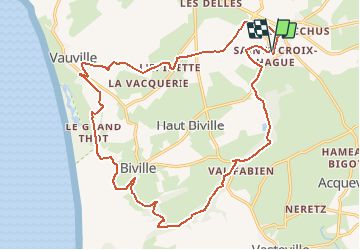
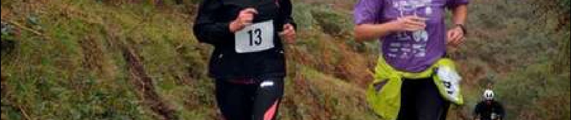
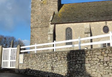
Trail Running of 21 km to be discovered at Normandy, Manche, La Hague. This trail is proposed by tracegps.
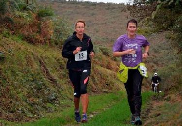
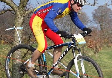
Parcours du Run and Bike organisé par la CCH et LES HAGUARDS. Circuit composé de terrains divers et variés et proposant de très beaux paysages. Les concurrents ont beaucoup apprécié le parcours qui est à l'image de ce que propose "LES HAGUARDS" lors de leurs différentes manifestations. Les Haguards vous invitent à venir les rejoindre les dimanche matin à 9h dans un rayon de 20 km autour de Cherbourg afin de découvrir de fabuleux sentiers dans une ambiance sportive et conviviale... Facebook: Vtt Les Haguards - http://leshaguards.fr/


Cycle
Walking
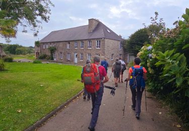
On foot

Walking
Walking
Walking
Mountain bike
Mountain bike