


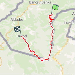

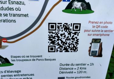
10.4 km | 18.9 km-effort

User


FREE GPS app for hiking
 SityTrail
IGN / Geographical institutes
SityTrail World
The world is yours!
Trail Equestrian of 22 km to be discovered at New Aquitaine, Pyrénées-Atlantiques, Banca. This trail is proposed by tracegps.
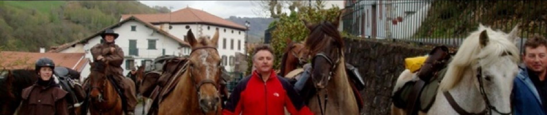
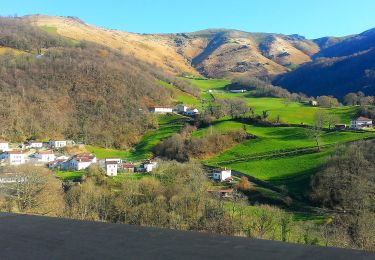
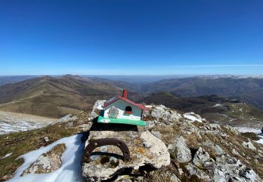
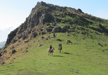
Crinières au vent, quelques galopades sont possibles une fois passé le col de Méhatzé sur les plateaux herbeux des crêtes (beaucoup de vent). Comme le faisaient les contrebandiers, vous traverserez la frontière au col de Burudincurutchta, pour revenir en pays basque français à Urepel, au cœur de la vallée des Aldudes. Imaginé il y a quelques années par plusieurs passionnés de l'ACTE (A Cheval Tous Ensemble), le sentier des contrebandiers est maintenant un itinéraire dont l'aménagement et le balisage sont assurés par le Conseil Général des Pyrénées-Atlantiques. 220 km d'aventures entre Saint-Palais et Biriatou (Hendaye) à travers la montagne basque, un itinéraire sauvage, réservé à des pratiquants chevronnés et entrainés, avec une cavalerie habituée à évoluer en montagne. En cas de doute sur votre niveau, l'idéal est de se mettre en relation avec le CDTE et l'ACTE afin de vous évaluer ! Des hébergements labellisés Cheval 64 vous accueillent à chaque étape afin d'assurer notamment l'accueil des chevaux dans de bonnes conditions. Crédits photos: ©CDT64


On foot
Walking
Equestrian
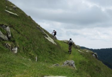
Mountain bike
Walking

Walking
Walking
Walking
Walking