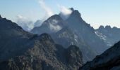
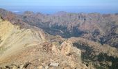
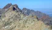
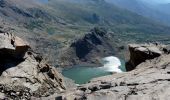
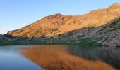
Trail Walking Corscia - Verdatu et Biancu - Trek de 4 jours - Photo

Verdatu et Biancu - Trek de 4 jours

 tracegps
tracegps

User

© OpenStreetMap contributors
Length
Length
32 km
Max alt
Max alt
2558 m
Uphill gradient
Uphill gradient
2811 m
Km-Effort
Km-Effort  
70 km
Min alt
Min alt
877 m
Downhill gradient
Downhill gradient
2810 m
Boucle
Boucle
Yes
Creation date :
2014-12-10 00:00:00.0
Updated on :
2014-12-10 00:00:00.0

(0 Reviews)

Walking
Walking
75h00
Difficulty : Difficult

Scan this QR Code to open this trail in the SityTrail application

FREE GPS app for hiking

Logo SityTrail SityTrail
IGN / Geographical institutes

Download SityTrail from the App Store Download SityTrail from Google Play

Logo SityTrail SityTrail World

The world is yours!

Download SityTrail from the App Store Download SityTrail from Google Play Download SityTrail on Huawei AppGallery

About

Trail Walking of 32 km to be discovered at Corsica, Haute-Corse, Corscia. This trail is proposed by tracegps.

Description

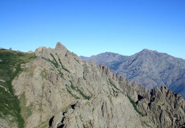
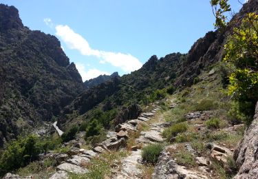
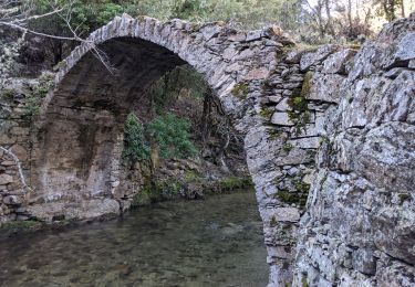
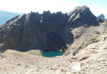
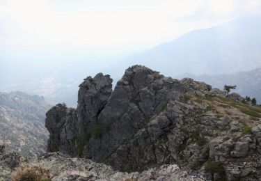
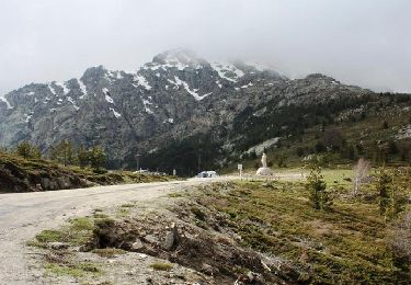
Capu a u Verdatu et Capu Biancu figurent dans la liste des dix plus hauts sommets de la Corse. Ils sont cependant très peu visités, car un aller-retour dans la journée vers l’un ou l’autre de ces sommets est particulièrement exigeant avec un dénivelé de l’ordre de 1800 mètres depuis Corscia. Les lacs Maggiore, d’Occi Neri et de Ghiarghe Rosse, au pied de ces deux sommets sont également très peu connus des randonneurs, car là aussi leur visite nécessite une longue randonnée sur un itinéraire non balisé. Nous n’avons d’ailleurs rencontré personne pendant trois jours alors que la pelouse du lac de Ghiarghe Rosse est un lieu de rêve pour un bivouac… D’autres photos et le récit détaillé ici

Elevation profile

Photos

Points of interest

Point of interest Corscia - Bergeries d'Urcula - Photo
tracegps
Point of interest Corscia - Bergeries de Caracuto - Photo
tracegps
Point of interest Corscia - Capu a u Verdatu - Photo
tracegps
Point of interest Asco - Capu Biancu - Photo
tracegps
Point of interest Corscia - Eglise de Corscia - Photo
tracegps
Point of interest Corscia - Fontaine de Callaiola - Photo
tracegps
Point of interest Corscia - Fontaine de Gradia - Photo
tracegps
Point of interest Corscia - Lac d'Occi Neri - Photo
tracegps
Point of interest Corscia - Lac de Ghiarghe Rosse - Photo
tracegps
Point of interest Corscia - Lac Maggiore - Photo
tracegps
CORSCIA 
Point of interest Lozzi - Punta Sellula - Photo
tracegps
Point of interest Corscia - Source Ghiarghe Rosse - Photo
tracegps

Positioning

Country:
France
Region :
Corsica
Department/Province :
Haute-Corse
Municipality :
Corscia
Location:
Unknown
Start:(UTM)
503489 ; 4689222 (32T) N.

Trails nearby

Trail Walking Corscia - Trek de Corscia à Castiglione en 4 jours - Photo
Walking
tracegps

Walking

Very difficult
(1)
Corscia, Corsica, Haute-Corse, France
31 km | 67 km-effort
30h 0min
No
Trail Walking Corscia - 31/05/2013 14:51 Scala Di Regina - Photo
Walking
GUIDE
Orcal37

Walking

Medium
Corscia, Corsica, Haute-Corse, France
5.6 km | 10.4 km-effort
4h 0min
No
Trail Walking Corscia - Corscia par l’ancienne Scala, retour par les gorges de la Ruda - Photo
Walking
olivecoco

Walking

Easy
Corscia, Corsica, Haute-Corse, France
11.4 km | 20 km-effort
4h 0min
Yes
Trail Walking Lozzi - boucle monte Cinto côté sud - Photo
Walking
PVERTICAL

Walking

Difficult
Lozzi, Corsica, Haute-Corse, France
18.8 km | 41 km-effort
8h 22min
Yes
Trail Walking Corscia - Monte Pinerole - Photo
Walking
tracegps

Walking

Easy
Corscia, Corsica, Haute-Corse, France
7.8 km | 13.2 km-effort
4h 0min
Yes
Trail Walking Albertacce - GR® de Corse - Mare a Mare Nord - De Albertacce à Verghju - Photo
Walking
tracegps

Walking

Difficult
Albertacce, Corsica, Haute-Corse, France
12.1 km | 21 km-effort
4h 30min
No
Trail Motor Calacuccia - cap Corse - Photo
Motor
wimpy

Motor

Easy
Calacuccia, Corsica, Haute-Corse, France
189 km | 240 km-effort
10h 52min
No
Trail Walking Lozzi - refuge - Photo
Walking
Lewuiss

Walking

Difficult
Lozzi, Corsica, Haute-Corse, France
8.8 km | 15.4 km-effort
4h 54min
No
Trail Walking Calacuccia - Mare a mare Nord Boucle centre - Etape 10 - Calacuccia / Refuge A Sega - Photo
Walking
zazie

Walking

Very difficult
Calacuccia, Corsica, Haute-Corse, France
9.1 km | 19.3 km-effort
4h 23min
No


Close
My subscriptions